Featured Images
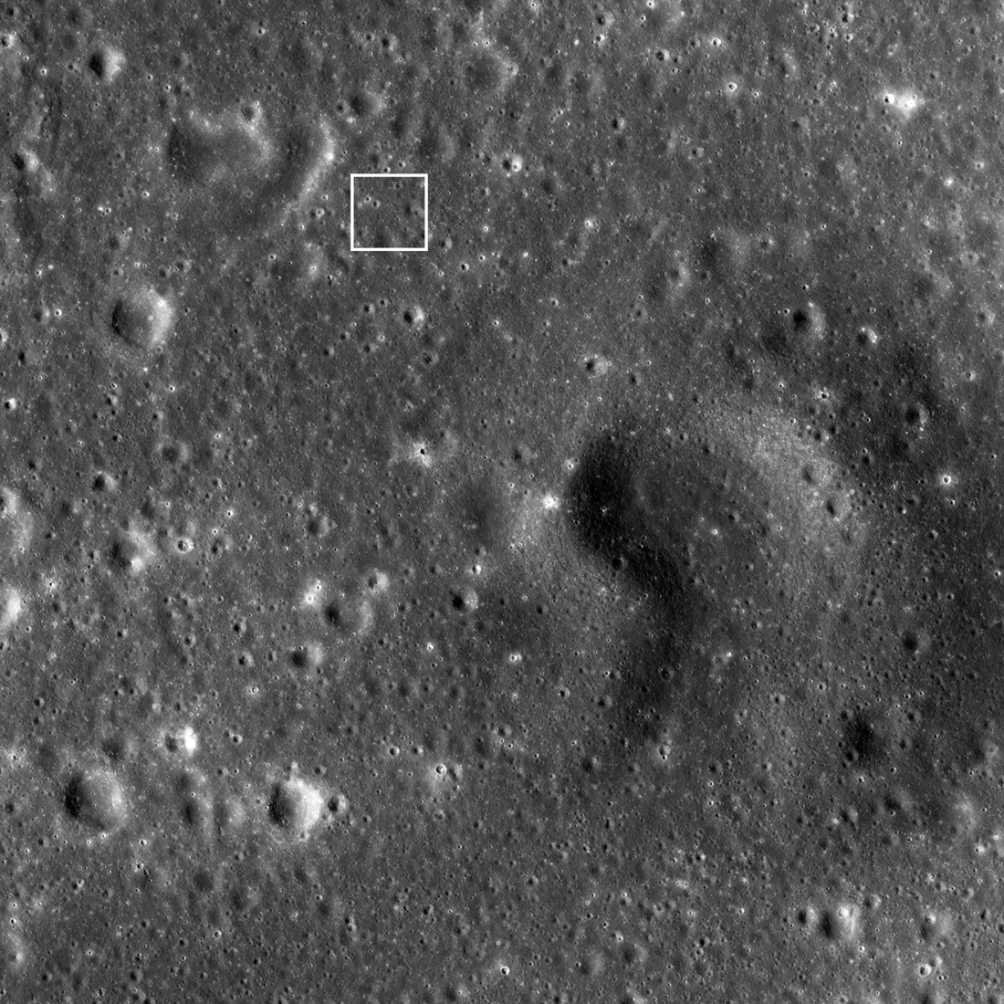
Firefly Blue Ghost Landing Region
The Firefly Aerospace Blue Ghost Mission 1 spacecraft was launched toward the Moon on January 15th 2025 and is slated to land on March 2nd. The landing region is located in eastern Mare Crisium (white box; 18.56°N, 61.81°E); NAC...
Published on 21 Feb 2025
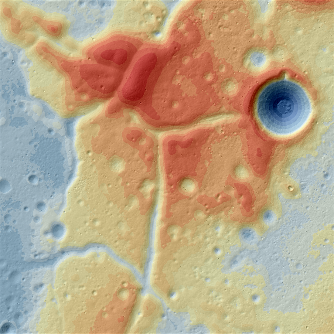
A Lunar Island Surrounded by Lava
Color-shaded relief map showing the elevations of the Western Crisium Kipuka (WCK) located on the western edge of Mare Crisium. The elevation ranges from -4,218 m (blue) to -3,195 m (red) [NASA/GSFC/Arizona State University].
Published on 01 Apr 2024
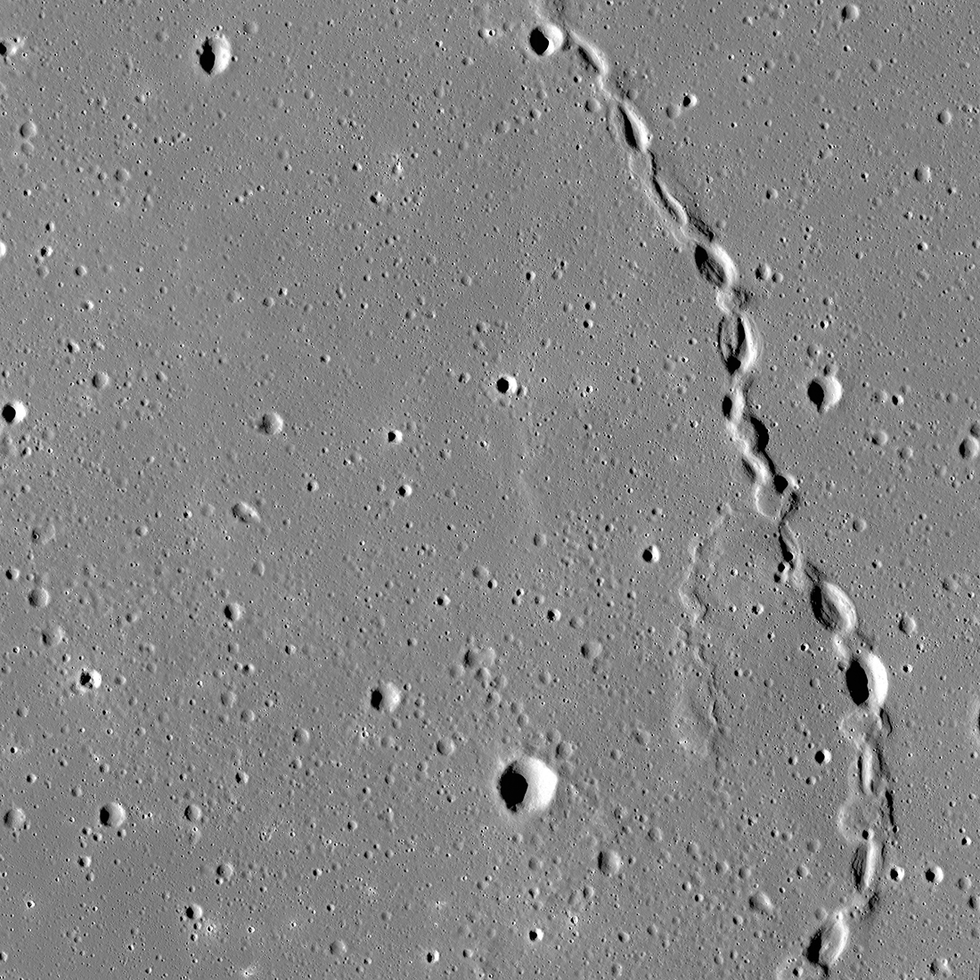
Gruithuisen: Collapsed Lava Tube?
The spectacular sinuous landform shown above is thought to be a collapsed lava tube (34.7°N, 316.6°E), located near Gruithuisen K crater. NAC controlled mosaic containing images M1173350480L/R, M1173357586L/R [NASA/GSFC/Arizona...
Published on 06 Oct 2023
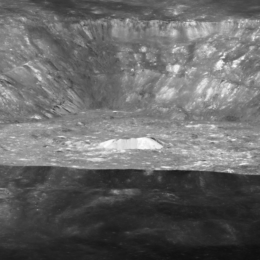
Dramatic Contrast
The dark rim of Aristarchus crater (23.7°N, 312.5°E) dramatically highlights its bright interior and central peak. There are more than 2700 meters of relief from the rim to the crater floor, and the central peak is 3,000 meters wide...
Published on 01 Dec 2022
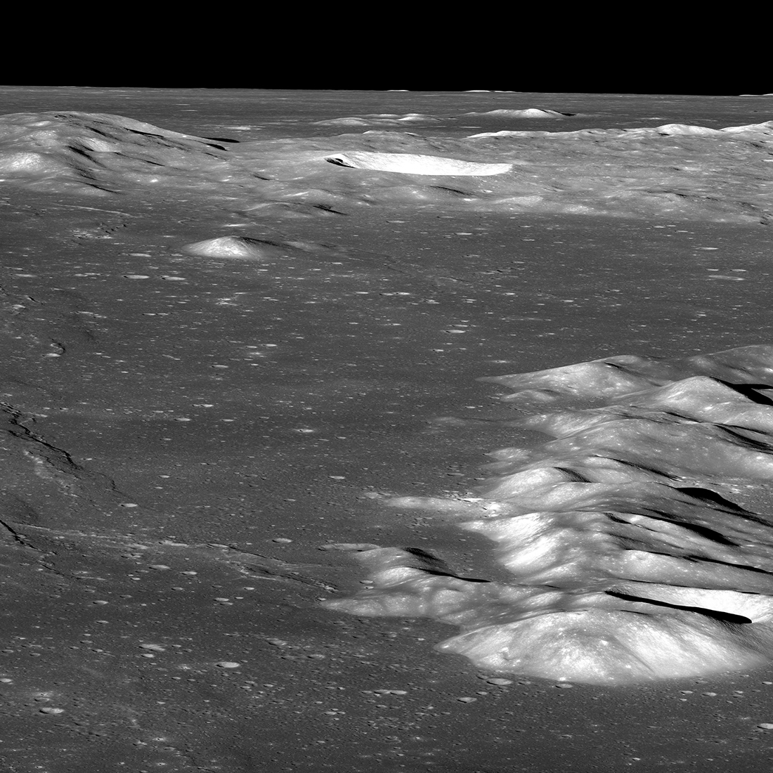
Wrinkle Ridges – How Deep Does the Fault Lie?
LROC NAC oblique of Montes Recti (right), a range of highlands massifs about 80 km across from west-to-east (west is at the top in this view) near the northern rim of Mare Imbrium. A wrinkle ridge deforms the mare basalts...
Published on 28 Sep 2022
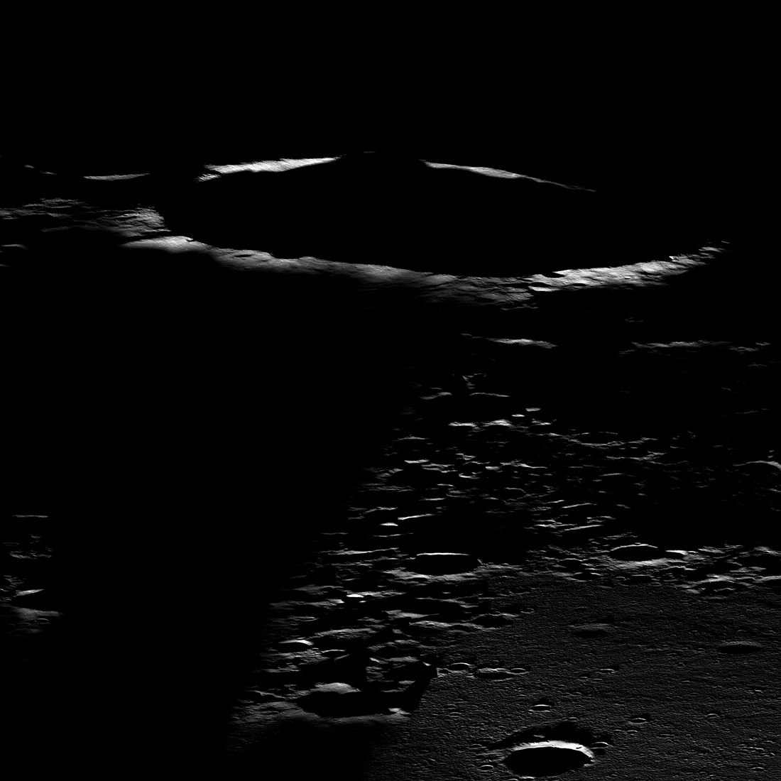
Lunar Terminator
Western portion of Mare Moscoviense seen under extreme lighting, east-to-west view snapped 25 August 2019. The illuminated rim in the background is an unnamed crater 21 kilometers in diameter (24.2°N, 146.3°E); spacecraft altitude was...
Published on 15 Apr 2022
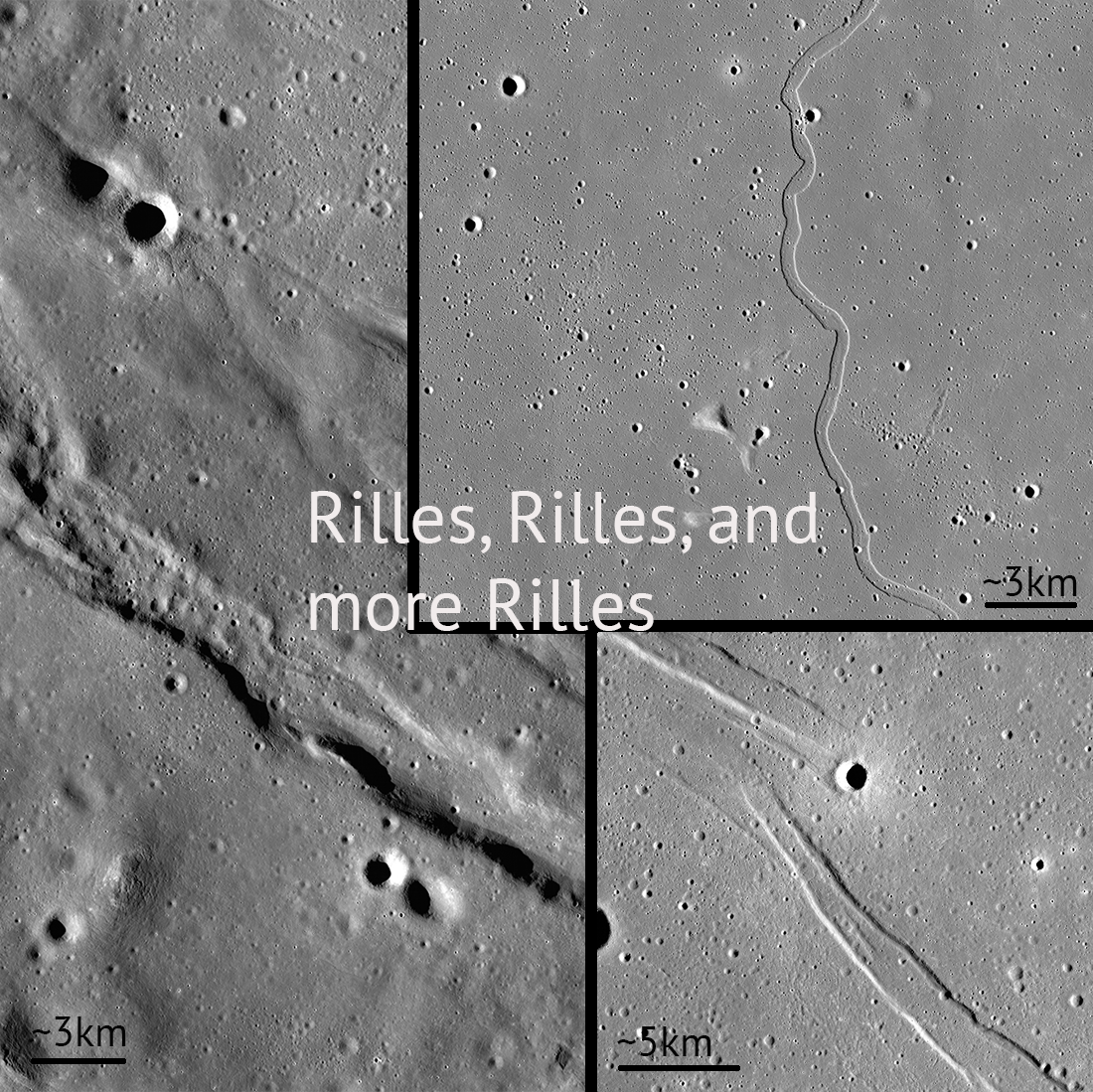
Rilles and Rilles: Sinuous, Straight, and Arcuate
Rilles are all over the Moon! Controlled feature mosaics help us see these features with great detail. Pictured: Rimae Sulpicious Gallus (20°N Lat, 10°E Lon), Rima Sharp (46°N Lat, 309°E Lon), Rima Cauchy (10°N Lat, 38°E Lon)...
Published on 30 Apr 2020
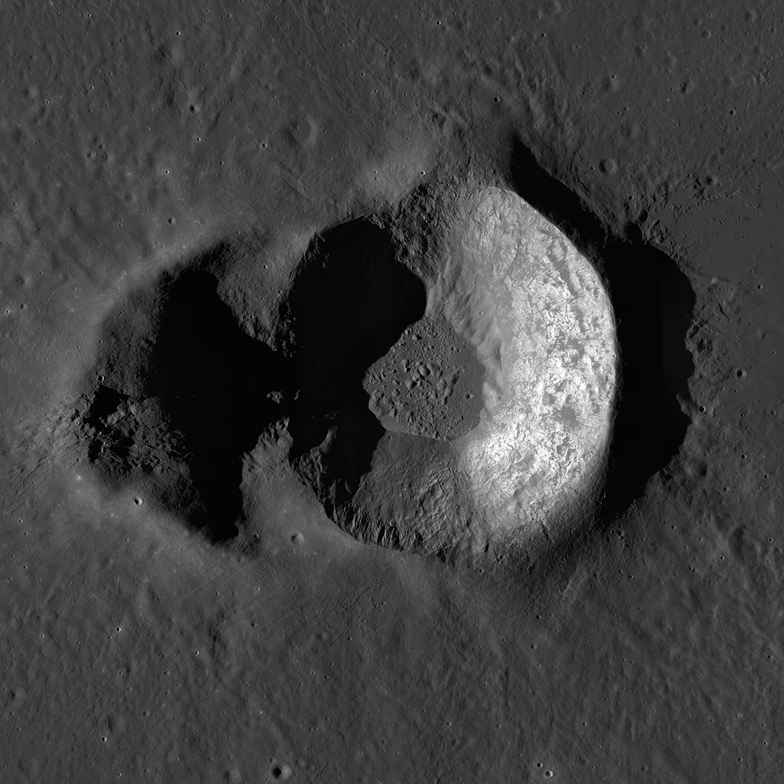
Double Trouble: Messier A
Messier A crater (2.039°S, 46.887°E, 10.6 km across from north to south) feature mosaic, created from NAC images M1188059614LR, M1188045553LR, and M1188052583LR [NASA/GSFC/Arizona State University].
Published on 01 Apr 2020
Feature Mosaics: Behind the Seams
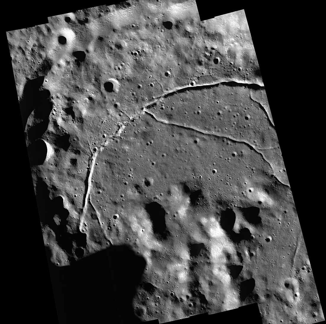
A seamless mosaic of a portion of Karpinsky crater (91 km diameter, 72.61° N, 166.80°E) seamless mosaic. Scene is 55 km across, NAC images M1309496597L/R, M1309503618L/R, M1309510644L/R, M1309517669L/R, and M1309524696L/R...
Published on 16 Mar 2020
"Oceanus Procellarum Base Here - The Eagle Has Landed"
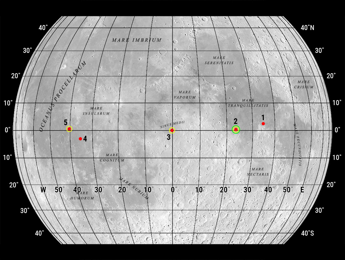
In 1969, NASA published a map showing candidate Apollo 11 and Apollo 12 landing sites. The map was based on photographs taken using large Earth-based telescopes. The map above, based on an LROC global image mosaic, is a near-copy of...
Published on 09 Aug 2019
On and Around Mons Piton
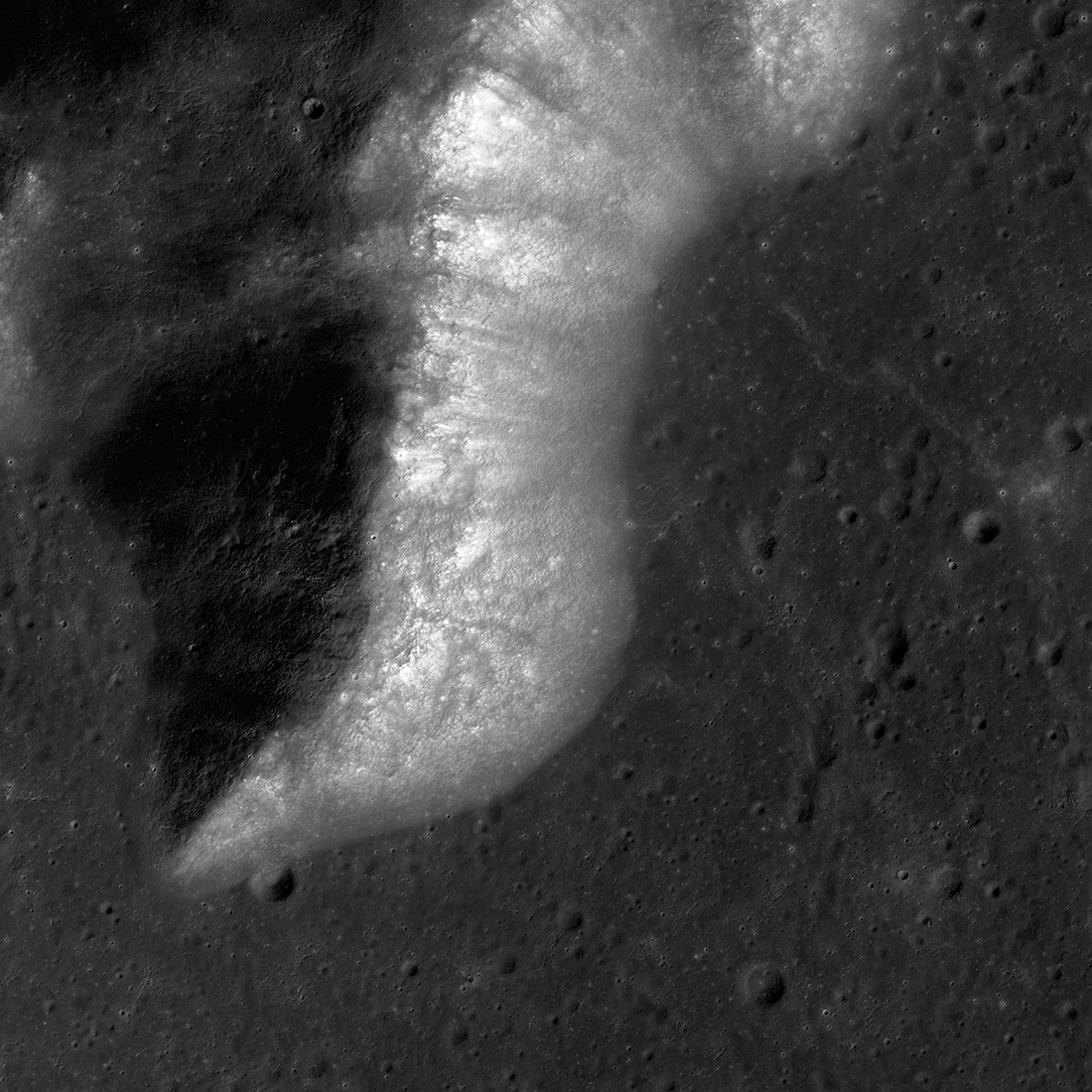
Mons Piton rises 2300 meters above the dark volcanic rocks of Mare Imbrium. The image covers an area 15.5 kilometers wide, north is up, and the Sun shines from the east (right). LROC NAC image pair M190609650LR [NASA/GSFC/Arizona State...
Published on 09 May 2019
Chladni 225
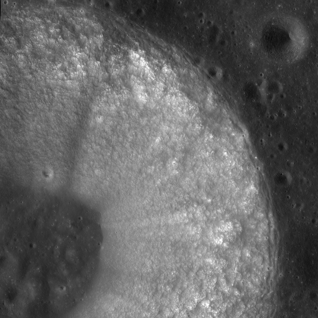
Chladni crater (center lat 3.96°N, center lon 1.11°E) is a classic bowl-shaped "simple" lunar crater located in Sinus Medii ("central bay"). The image displays the north and east parts of the 13.1-kilometer-wide crater, including part...
Published on 21 Feb 2019
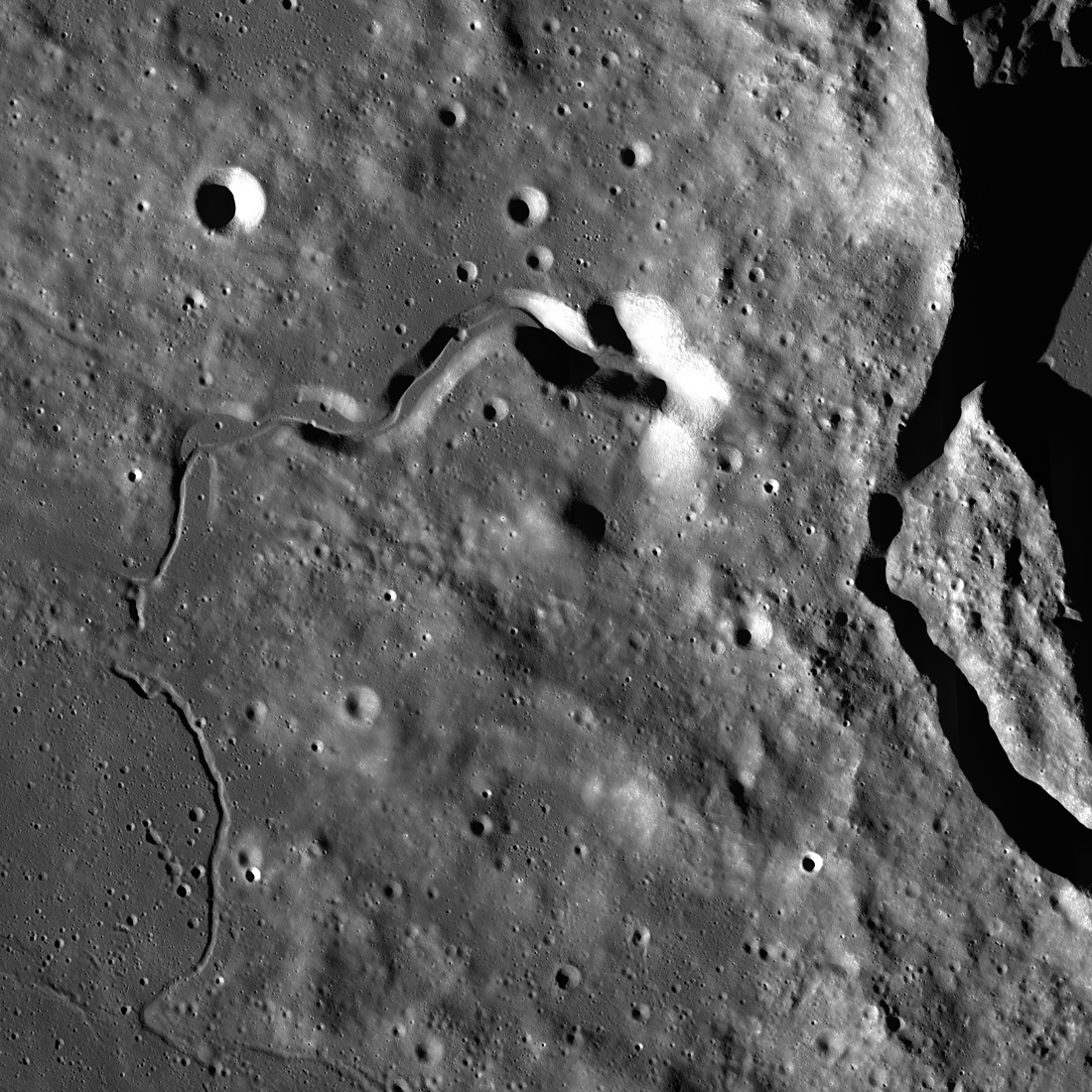
The West Side of Plato Crater
Western Plato crater (at right) and the geologically complex region west of its rim — part of a controlled and corrected mosaic made up of Lunar Reconnaissance Orbiter Camera (LROC) Narrow Angle Camera (NAC) images. The late afternoon...
Published on 18 Jan 2019
Von Kármán Crater: Awaiting A Visitor
Von Kármán crater (186 kilometer diameter), a treasure house of geologic landforms! LROC Wide Angle Camera mosaic, five degree latitude and longitude grid [NASA/GSFC/Arizona State University].
Published on 02 Jan 2019
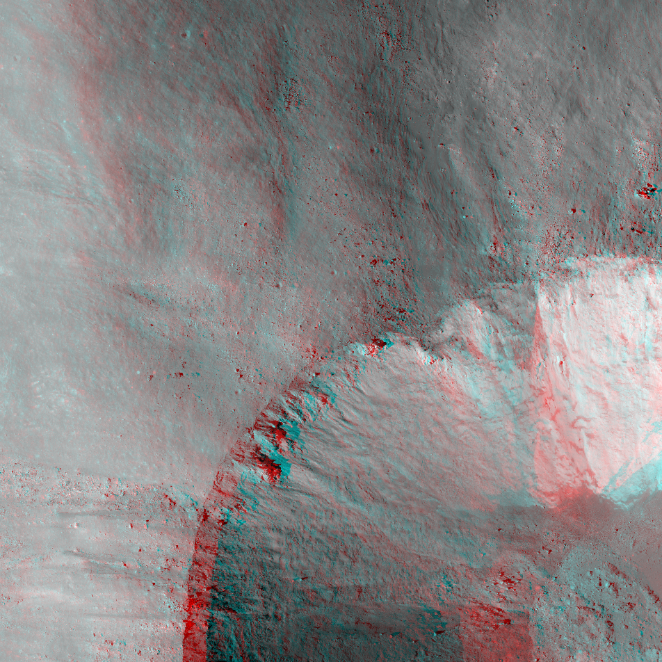
NAC Anaglyph: Eimmart A Crater
Eimmart A, partially visible at lower right, has a split personality. Image numbers M1098422839L/R, M1098408548L/R [NASA/GSFC/Arizona State University].
Published on 21 Jul 2018
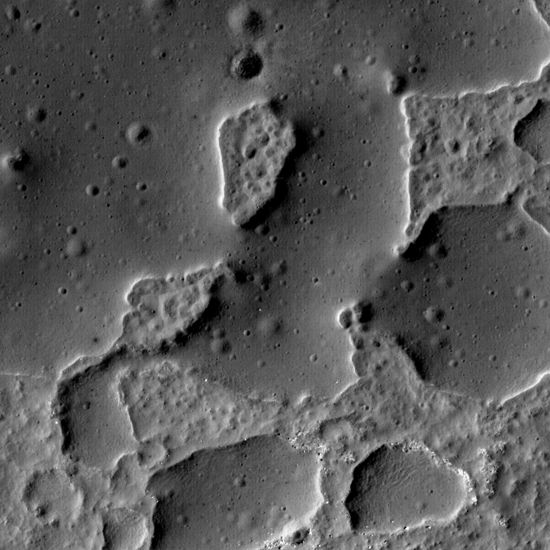
Another Lunar Enigma
Ina (18.66°N, 5.30°E) is one of the most enigmatic landforms on the Moon. First discovered in Apollo-era photographs, then intensely studied with modern observations, its nature is still unknown. The Sun is shining right-to-left, 40...
Published on 20 Jun 2018
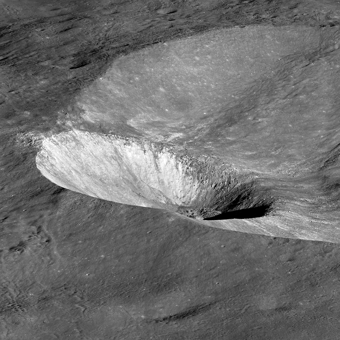
Hawke Crater
Hawke crater, 13.2 km wide, is noticeably tilted because the impactor - an asteroid or a comet - that excavated it struck the sloping inner wall of Grotrian crater. Visible are light-colored rays that attest to the crater's youth, as...
Published on 03 May 2018
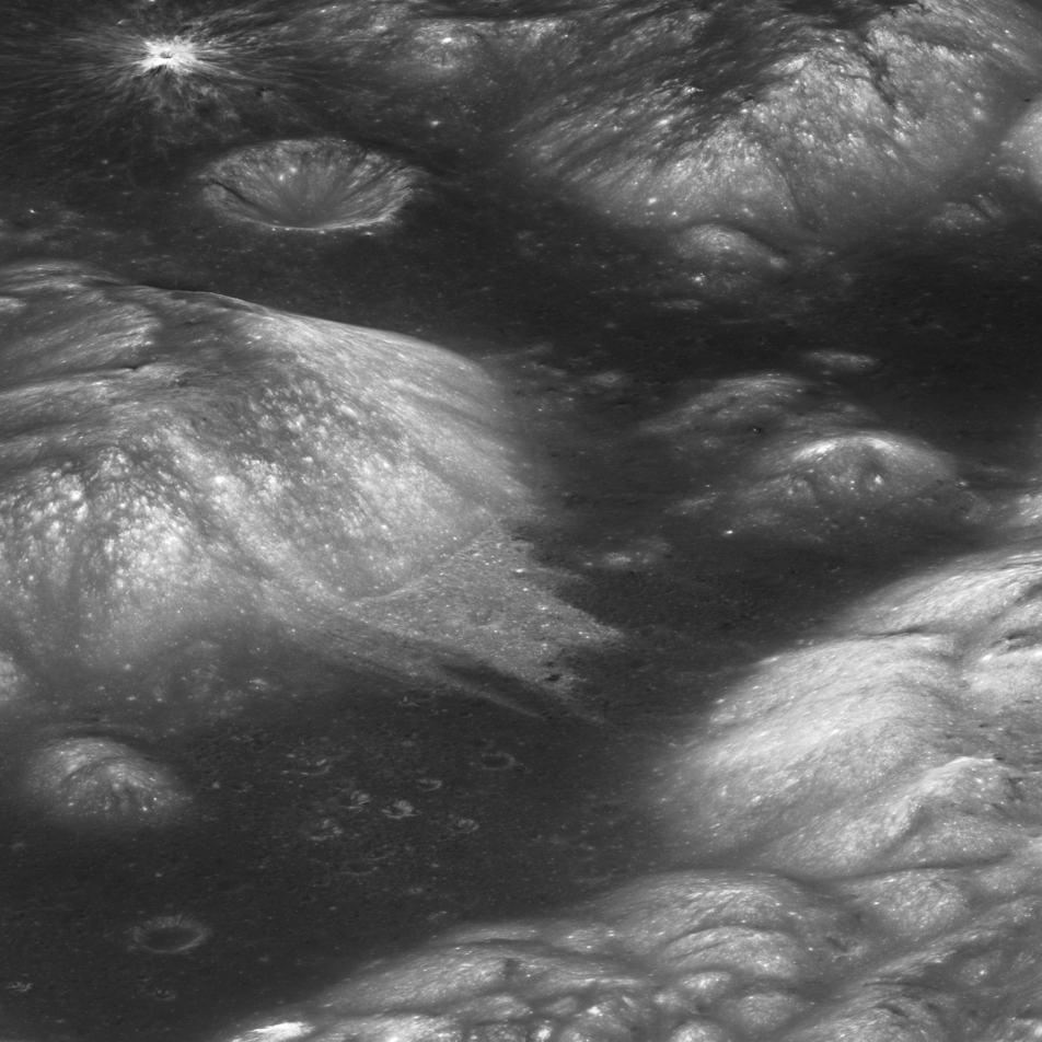
Curiously Fast Degradation of Small Lunar Craters
Taurus-Littrow valley, geologic exploration target for Apollo 17 and the Lunar Reconnaissance Orbiter Camera study team led by Dr. Prasun Mahanti. Center latitude 20.15°N, center longitude 30.98°E, image 18 km wide, image...
Published on 24 Apr 2018
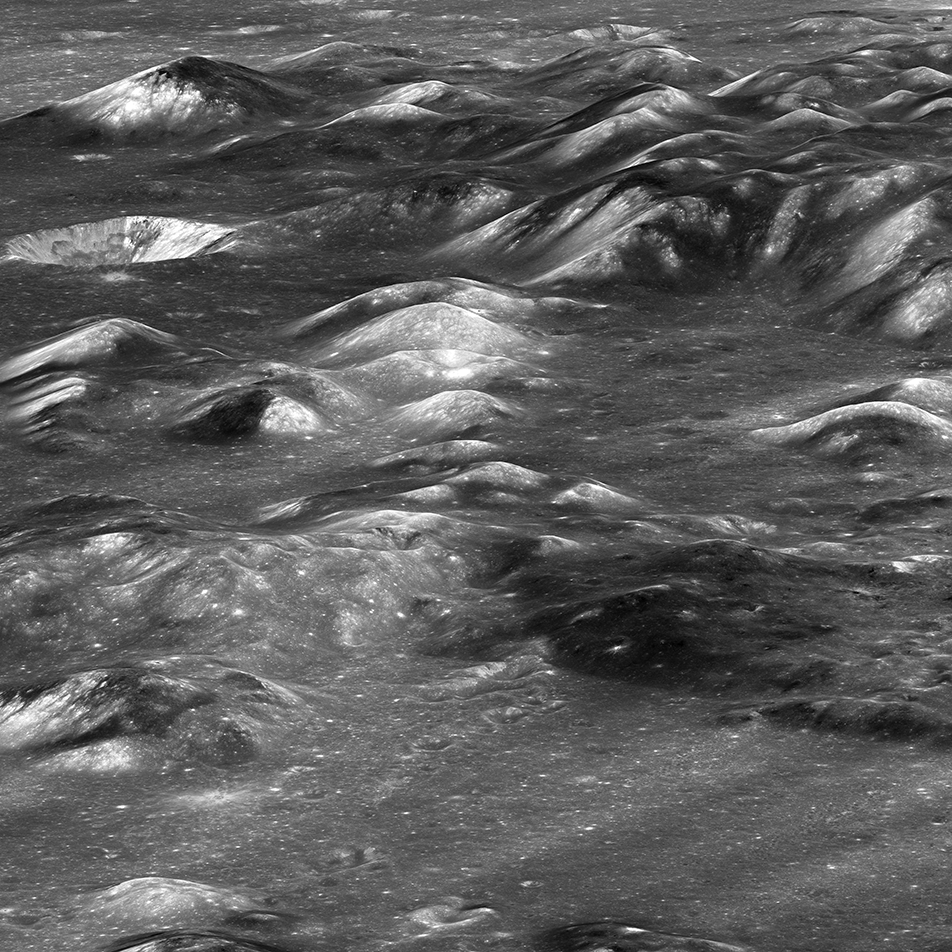
Montes Carpatus
The Montes Carpatus region (16.67°N, 332.93°E) contains numerous examples of volcanic materials. The low albedo (dark) patterns may indicate pyroclastic (explosive) material that erupted over 3 billion years ago. Tobias Mayer G crater...
Published on 08 Mar 2018
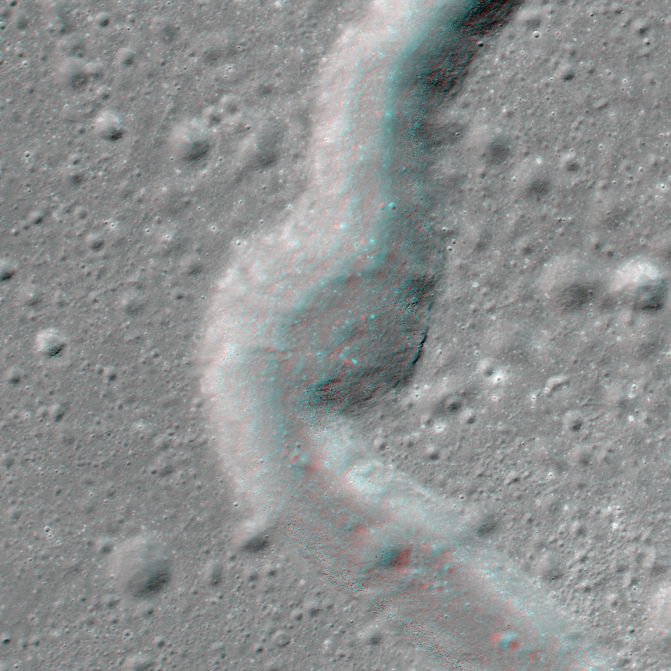
NAC Anaglyph: Rima Sharp
A bend in Rima Sharp, a sinuous rille that can be traced more than 250 km and spans the boundary between mare-filled Sinus Roris (to the north) and Oceanus Procellarum (to the south) [NASA/GSFC/Arizona State University].
Published on 26 Jan 2018