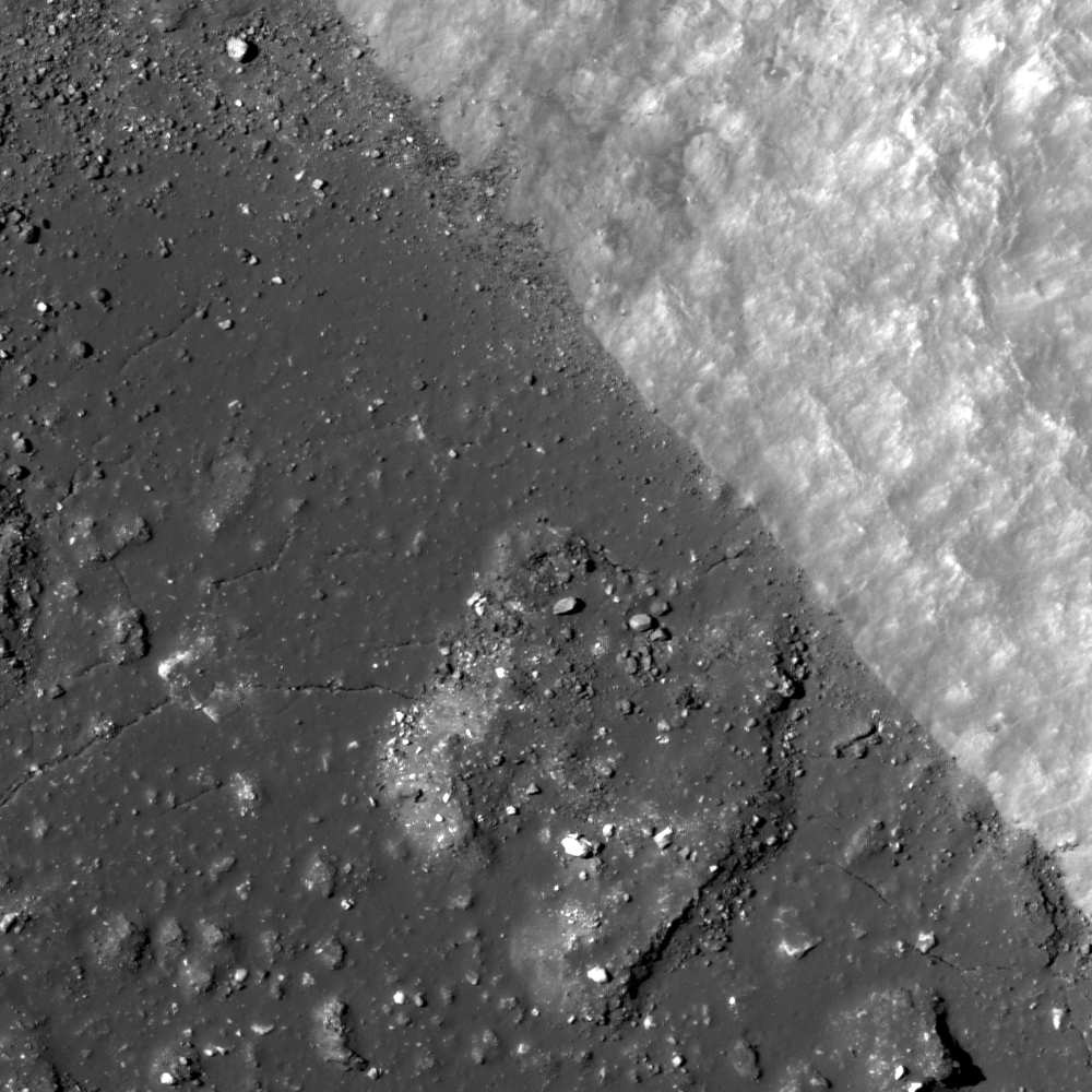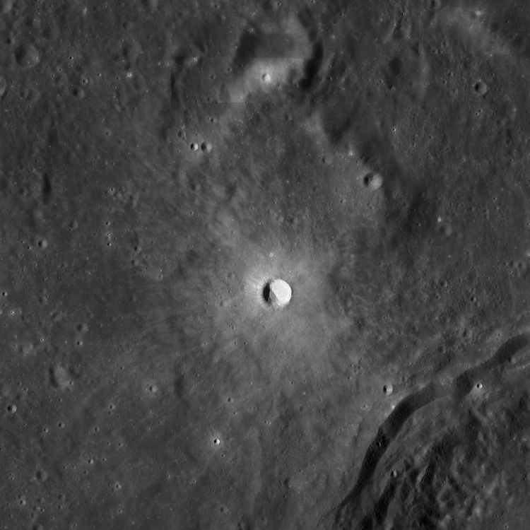
La Pérouse A (4.08 km in diameter) is an impact crater located at 9.268°S, 74.705°E. Besides being a fresh, young crater with exquisitely impact melt forms, boulders, and high reflectance ejecta, La Pérouse A is interesting because over half of the crater interior is filled with a landslide of high reflectance material. What set of circumstances would cause a landslide that covers a majority of the crater?
The answer: La Pérouse A is actually lopsided. The impact crater occurred on a slope near the edge of some highland material (possibly old basin ejecta). The northeast rim of La Pérouse A is at an elevation of 1200 m, 920 meters higher than the southwest rim. The northeast rim is not the original rim of the crater, but rather the modified rim after the landslide of highland material into the crater floor. In the Featured Image you can see the edge where the landslide meets the impact melt in the floor of the crater. The landslide makes the final crater diameter larger, and the floor diameter smaller. The angle of the landslide slope ~32 degrees. This angle is the expected angle of repose for granular material.
In the colorized topography figure above, La Pérouse A is in the center. The contour lines show the steepness of the slopes; the closer together the contour lines, the steeper the slope. Notice how the contour lines for La Pérouse A are much closer together on the northeast side of the crater than on the southwest side. In the WAC context image below, the same area is shown, but the topography is not as apparent. You can see the high reflectance landslide against the lower reflectance impact melt on the floor of La Pérouse A.
Explore the entire NAC below!
Related Images:
Rock avalanche in Robinson crater
Published by Sarah Braden on 18 September 2012

