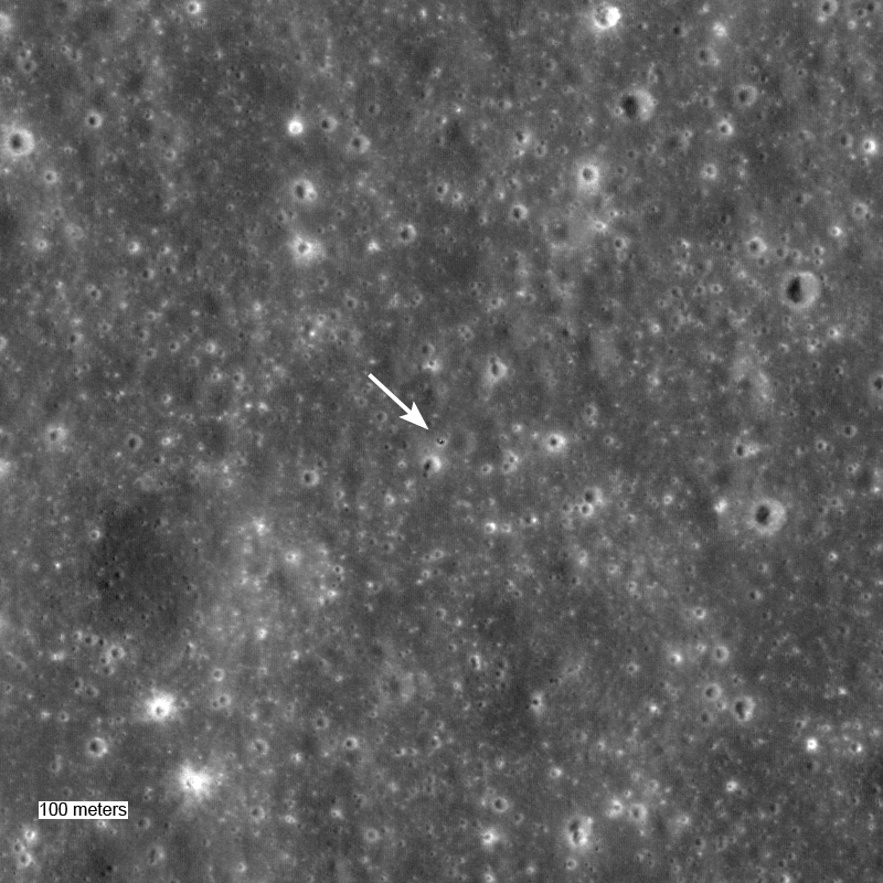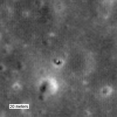
Surveyor 5 landed on Mare Tranquillitatis in September of 1967, in what must have been a harrowing touchdown. As pictures arrived on the ground it became apparent that the spacecraft had landed on the steep slopes of a small impact crater. After careful analysis of the images, including star field pictures, the Surveyor team was able to determine that the local slope was 19.7°!
The spacecraft performed all its assigned tasks, returning thousands of detailed pictures and measuring the chemistry of the soil. Less than two years after Surveyor 5 landed Neil Armstrong and Buzz Aldrin set down the Lunar Module Eagle less 100 km away, and returned rocks with chemistry similar to those measured by the Surveyor.
Find Surveyor 5 for yourself in the full resolution NAC image M106726943LE.
LROC Image of Surveyor 1.
LROC Image of Surveyor 3 and Apollo 12.
LROC Image of Surveyor 6.
Published by Mark Robinson on 21 March 2010
