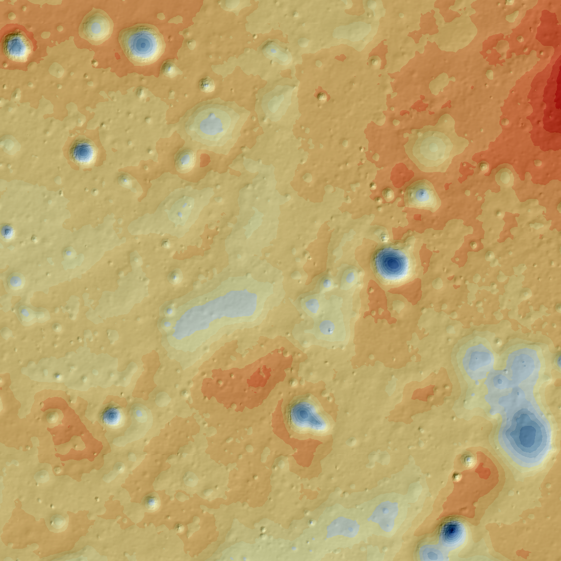
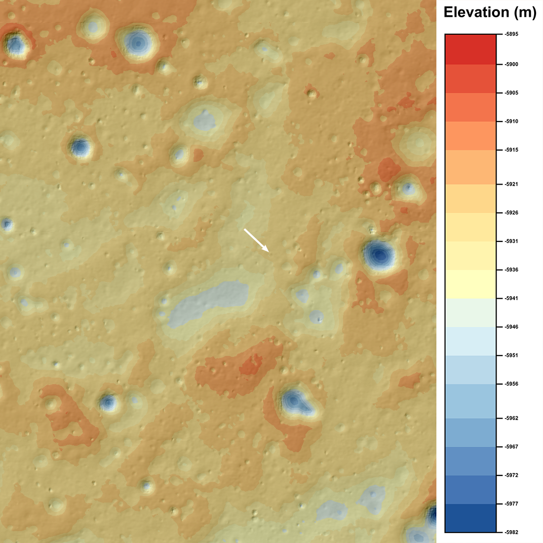
A pair of NAC observations of the Chang'e 4 landing site were collected on 1 February 2019, and were used to create a digital terrain model (DTM) of the region. These images were obtained by slewing the spacecraft to look at the site from different angles, something that the LRO team regularly does to obtain stereo observations of the surface.
The NAC stereo model is extremely accurate in part because it was cartographically tied to 24 LOLA orbit tracks (72,097 individual shots, or measurements) with a RMS error of 1.1 meters. The RMS error is the root-mean-square of the difference between all the LOLA points and the stereo derived DTM giving a measure of the horizontal and vertical accuracy of the derived DTM. The fact that the tie is from 24 separate LOLA tracks and the sheer number of points indicate that the accuracy of the stereo model may be close to the reported precision (1.1 meters). The pixel scale of the DTM and color shaded relief map is 5.0 meters and the pixel scale of the orthophotomosaic is 1.4 meters (shown below). The derived coordinates of the lander (-5927 meters elevation, -45.4561° latitude, 177.5885° longitude) are reported to four decimal places, which is about 3 meters in latitude and two meters in longitude. Since there is an ambiguity of about one pixel in locating the center of the lander, the uncertainty of the lander position is about 3 meters in latitude and longitude (1.1+1.4 meters).
The Chang'e 4 lander coordinates were previously estimated by the LROC team as 45.457°S, 177.589°E , derived from a comparison of the Chang'e 4 descent images and a NAC image acquired before the landing; the coordinates based on the stereo model are just 26.5 meters different than the earlier estimate. An amazing testament to the accuracy of the LOLA-plus-GRAIL coordinate framework, even without registering the images to LOLA profiles! Such accuracy will greatly benefit future landings and surface operations.
Orthophotomosaic of Chang'e 4 landing site; north is up, mosaic 7210 meters wide, M1303619844LR [NASA/GSFC/Arizona State University].
Related Featured Images
Chang'e 4 Rover Comes Into View
Published by Mark Robinson on 30 April 2019