What exactly is the cause of these intersecting lines, sometimes informally known as "elephant skin"? LROC is now collecting the data to allow scientists to model different theories. These include seismic shaking and temperature cycling. Most likely both mechanisms play a role, but which mechanism is more important?
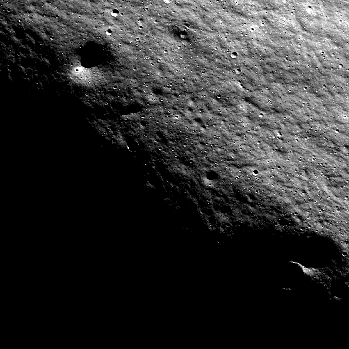
Malapert mountain is very ancient, and thus has well-developed regolith (soil). Malapert is always seen at low Sun due to its latitude (86° South) near the south pole, giving this texture its striking appearance.
Currently LROC is building up mosaics of both poles and acquiring stereo data to provide high-resolution topography. Images of the same area with lighting from different directions combined with the new high-resolution topography maps are providing the tools to model the processes involved in forming these patterns. Stay tuned as the elephant skin story develops!
Published by Mark Robinson on 22 February 2010