Featured Images

Apollo 17 Remains Unchallenged After Fifty Years
Fifty years ago, the Apollo 17 crew concluded a series of human exploration missions that remain, like their footsteps, some of the greatest achievements in human history. Apollo 17 handheld image (AS17-134-20382) of astronaut Harrison...
Published on 10 Dec 2022

Beresheet Crash Site Spotted!
SpaceIL Beresheet crash site as seen by LROC eleven days after the attempted landing. Date in lower left indicates when the NAC image was acquired, M1310536929R [NASA/GSFC/Arizona State University].
Published on 15 May 2019
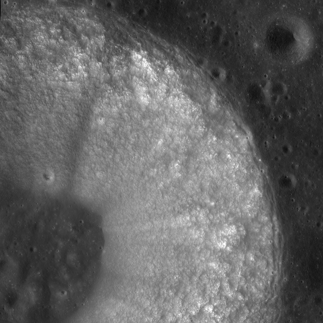
Chladni 225
Chladni crater (center lat 3.96°N, center lon 1.11°E) is a classic bowl-shaped "simple" lunar crater located in Sinus Medii ("central bay"). The image displays the north and east parts of the 13.1-kilometer-wide crater, including part...
Published on 21 Feb 2019
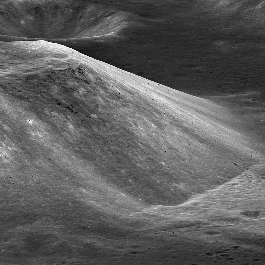
South Massif Landslide
By lunar standards South Massif is a relatively modest mountain, but with a rich history (geologic and exploration). The massif is about 7000 meters across at the base and 2300 meters tall; M1266925685LR, incidence angle 33°, slew angle...
Published on 09 Jun 2018
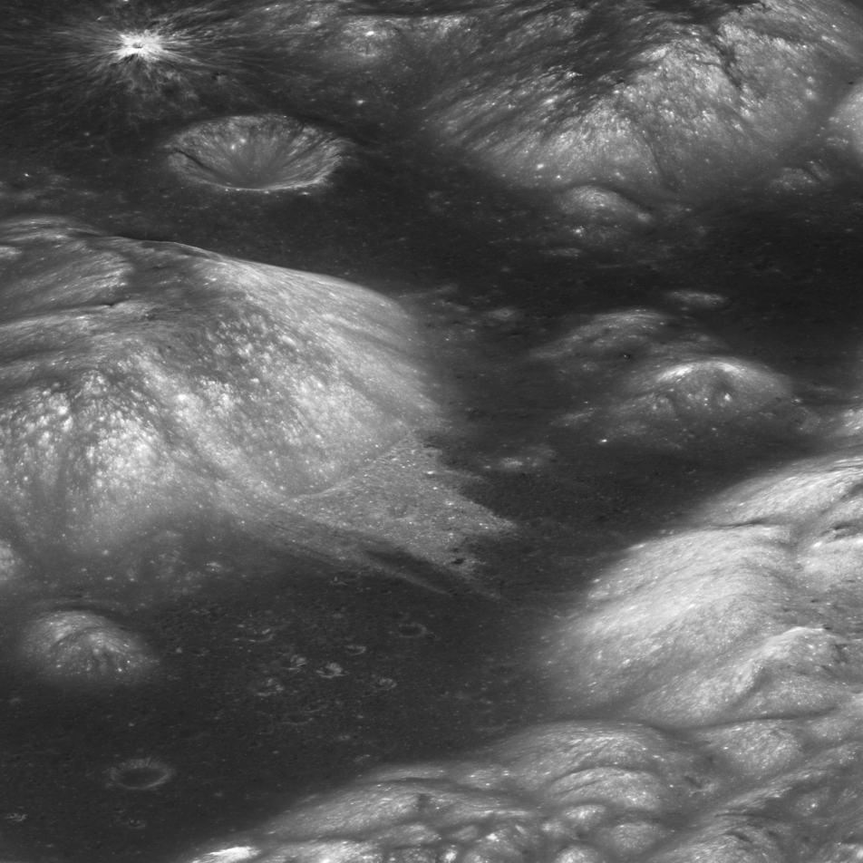
Curiously Fast Degradation of Small Lunar Craters
Taurus-Littrow valley, geologic exploration target for Apollo 17 and the Lunar Reconnaissance Orbiter Camera study team led by Dr. Prasun Mahanti. Center latitude 20.15°N, center longitude 30.98°E, image 18 km wide, image...
Published on 24 Apr 2018
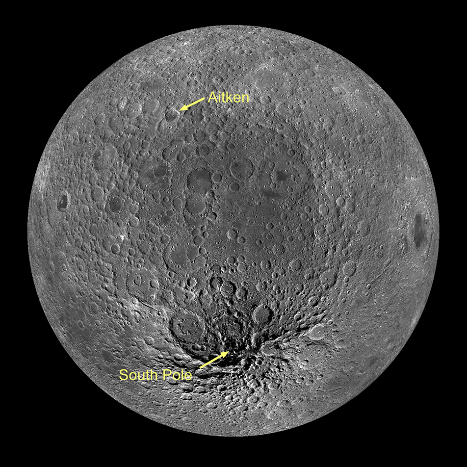
The History of Volcanism in the Moon's Largest Basin
A view of the Moon's largest impact feature, the South Pole–Aitken basin, so named because it stretches between Aitken crater and the south pole. The orthographic projection here centered on the basin (53°S, 191°E) highlights how much...
Published on 02 Nov 2017
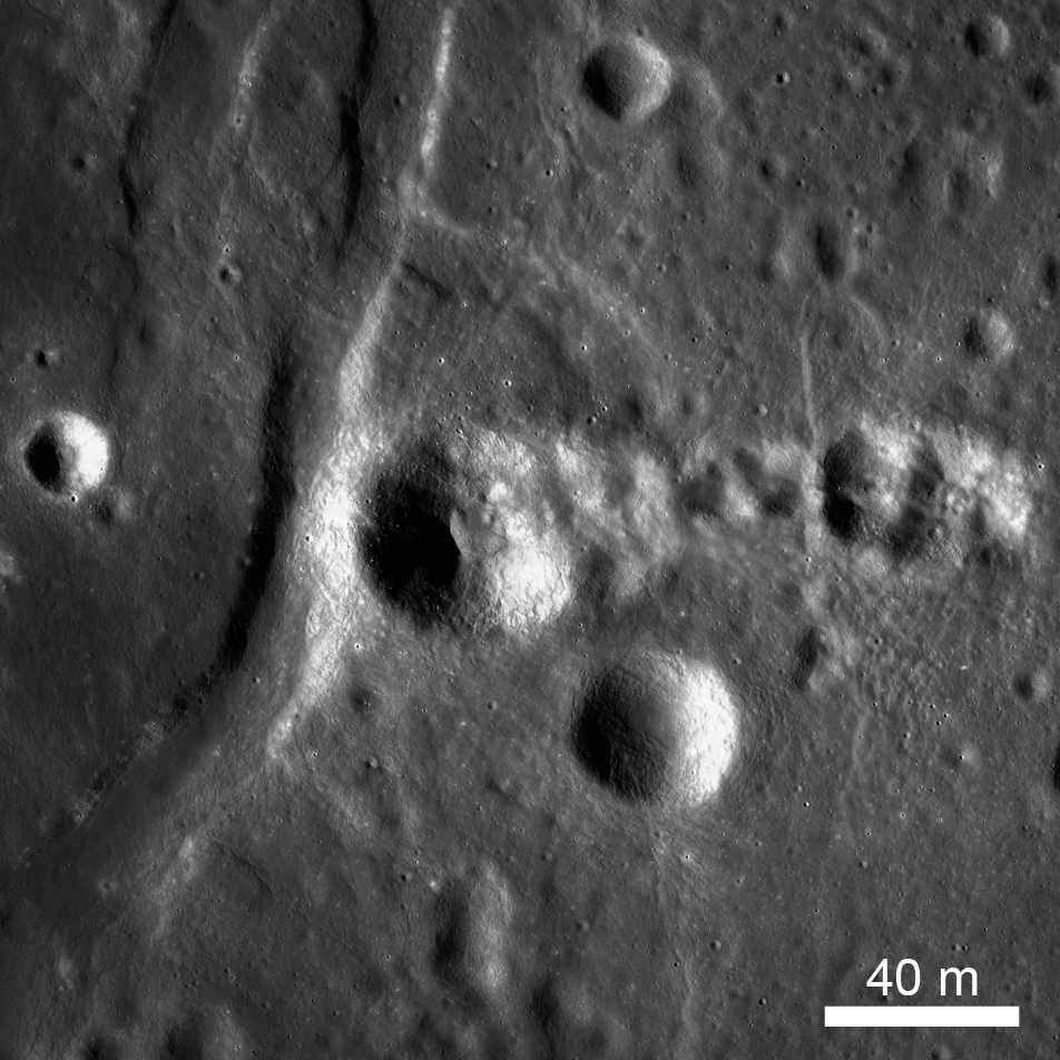
High Resolution Maps of the Moon
A section of Narrow Angle Camera (NAC) Region of Interest (ROI) mosaic of Catena Littrow (22.23°N, 29.61°E) represents one of 12 new Reduced Data Records (RDRs) recently released as part of Volume 31 of the LROC Planetary Data System...
Published on 31 Oct 2017
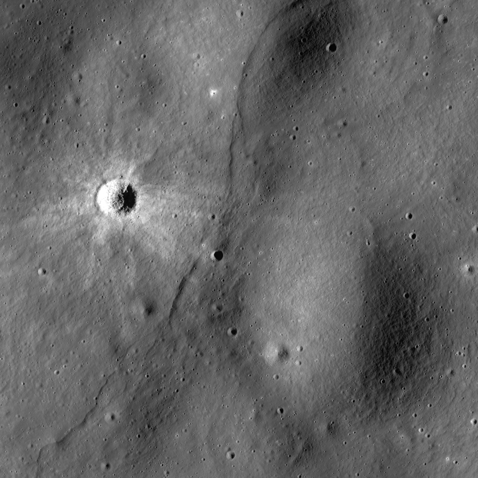
Investigating Newly Discovered Lobate Scarps
Joy scarp (25.28°N, 6.84°E) extends from the lower left to upper right across this scene, and is found northeast of Joy crater (not seen) in a hummocky terrain between Mare Imbrium and Mare Serenitatis. Ejecta from the fresh, 300-m...
Published on 05 Oct 2017
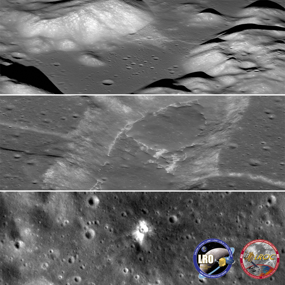
What's Next for LRO?
LRO and LROC will continue to explore the Moon during the mission's third extended mission to understand fundamental processes that shape our Solar System.
Published on 22 Aug 2016
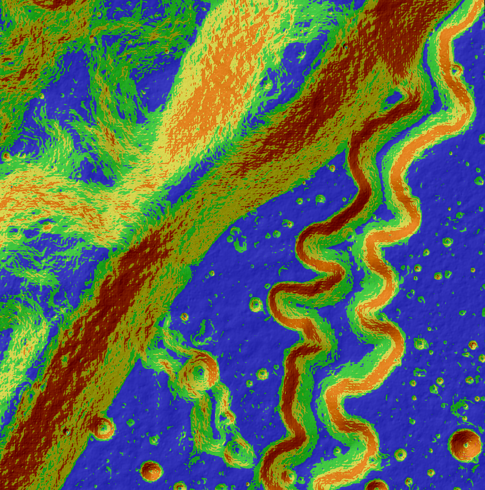
A Tortuous Path in Posidonius
This may look like a work of abstract art, but in reality, it's for science! This colorful image is an LROC slope map of the northwestern portion of the floor of Posidonius crater. Warmer colors indicate steeper slopes, whereas cooler...
Published on 31 Jul 2014
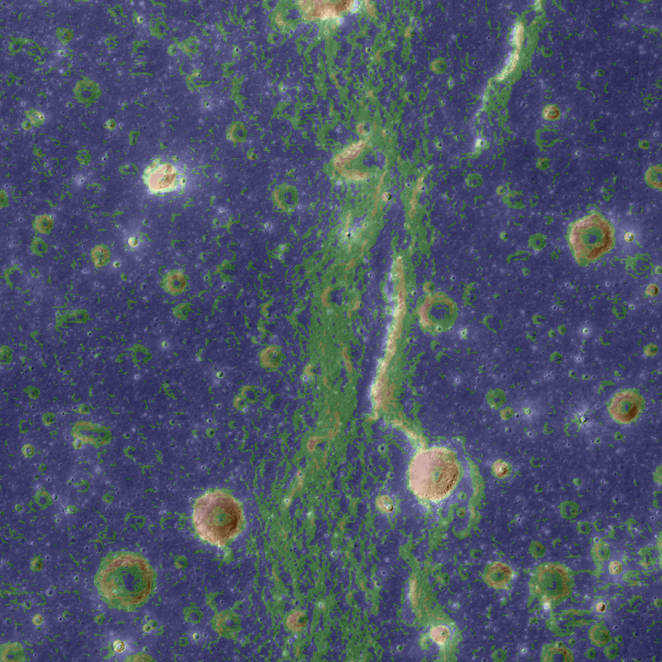
Dorsum Nicol
This tectonic feature was formed as stresses built up in the lunar crust until the rock gave way. The energy released was immense, and the displaced rock is the north-south trending wrinkle ridge that we see today. This is LROC NAC...
Published on 17 Jul 2014

Trundling Across the Moon
Tracks made by Lunokhod 2 as it tested for variations in local magnetic properties while traversing around a small crater (25.764°N, 30.474°E), M122007650R, image width 470 m [NASA/ GSFC/ Arizona State University].
Published on 23 May 2014
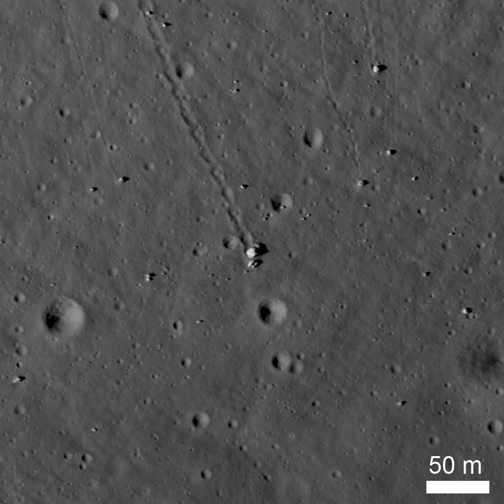
Station 6 - Apollo 17
Station 6 allowed Apollo 17 astronauts to explore a collection of boulders and regolith that represents the rocks from the mighty North Massif. Five large boulder fragments lie at the base of a long boulder trail, all from a single...
Published on 13 Dec 2013
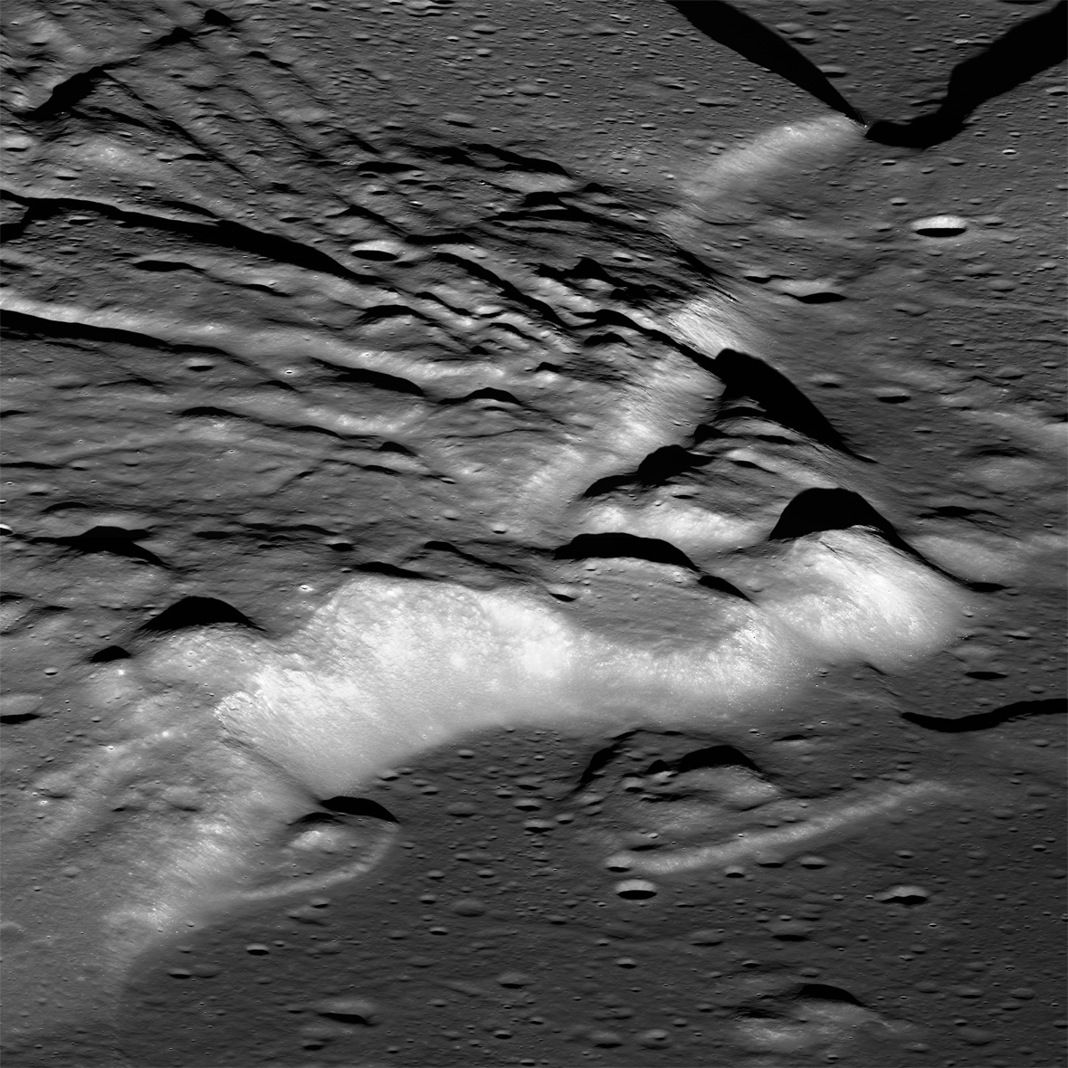
Amazing Orientale Peaks and Valleys
Spectacular oblique view of the interior of the Orientale basin. NAC images M1124173129L & R, image centered at 24.23°S, 264.30°E, scene width is approximately 16 km and the cliff at center is 1.7 km high [NASA/GSFC/Arizona State...
Published on 16 Jul 2013
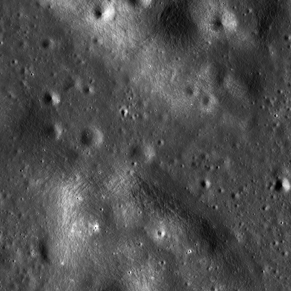
The Monadnocks of Sinus Honoris
A NW-SE oriented groove is seen between two inselbergs in Sinus Honoris (12.276°S; 18.712°E). NAC frame M181944849L, illumination is from the west, north is up, image is ~5.5 km wide [NASA/GSFC/Arizona State University].
Published on 25 Apr 2013

Meanders in Posidonius
Small portion of a S-shaped meandering rille on the floor of Posidonius Crater (31.93°N, 29.85°E, 100 km diameter) - a floor-fractured crater. The curves in the rille are very tight. LROC NAC M1098658474R [NASA/GSFC/Arizona State...
Published on 05 Feb 2013
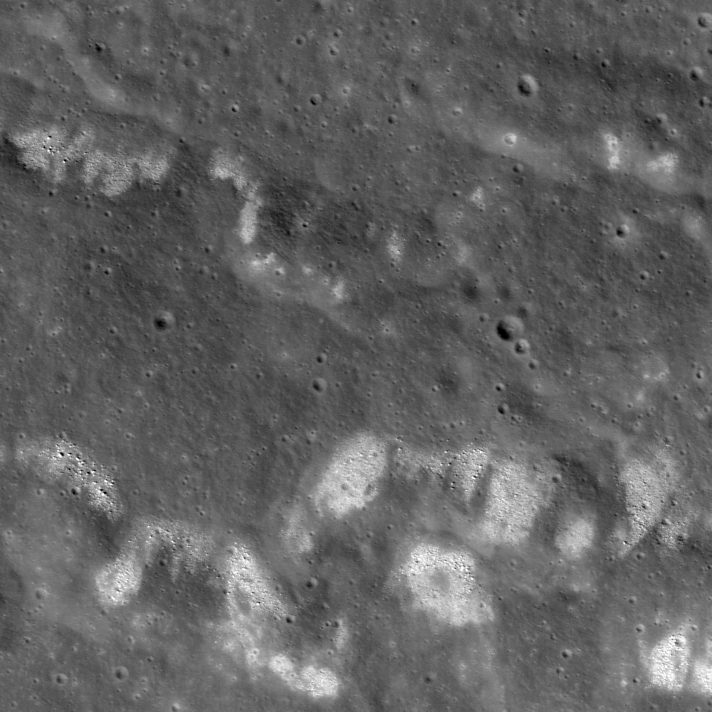
Boulders In The Sea Of Serenity
A wrinkle ridge in western Mare Serenitatis is littered with boulders and high-albedo (bright) areas. Image is ~1.5 km across, NAC M106826896L [NASA/GSFC/Arizona State University].
Published on 09 Jan 2013
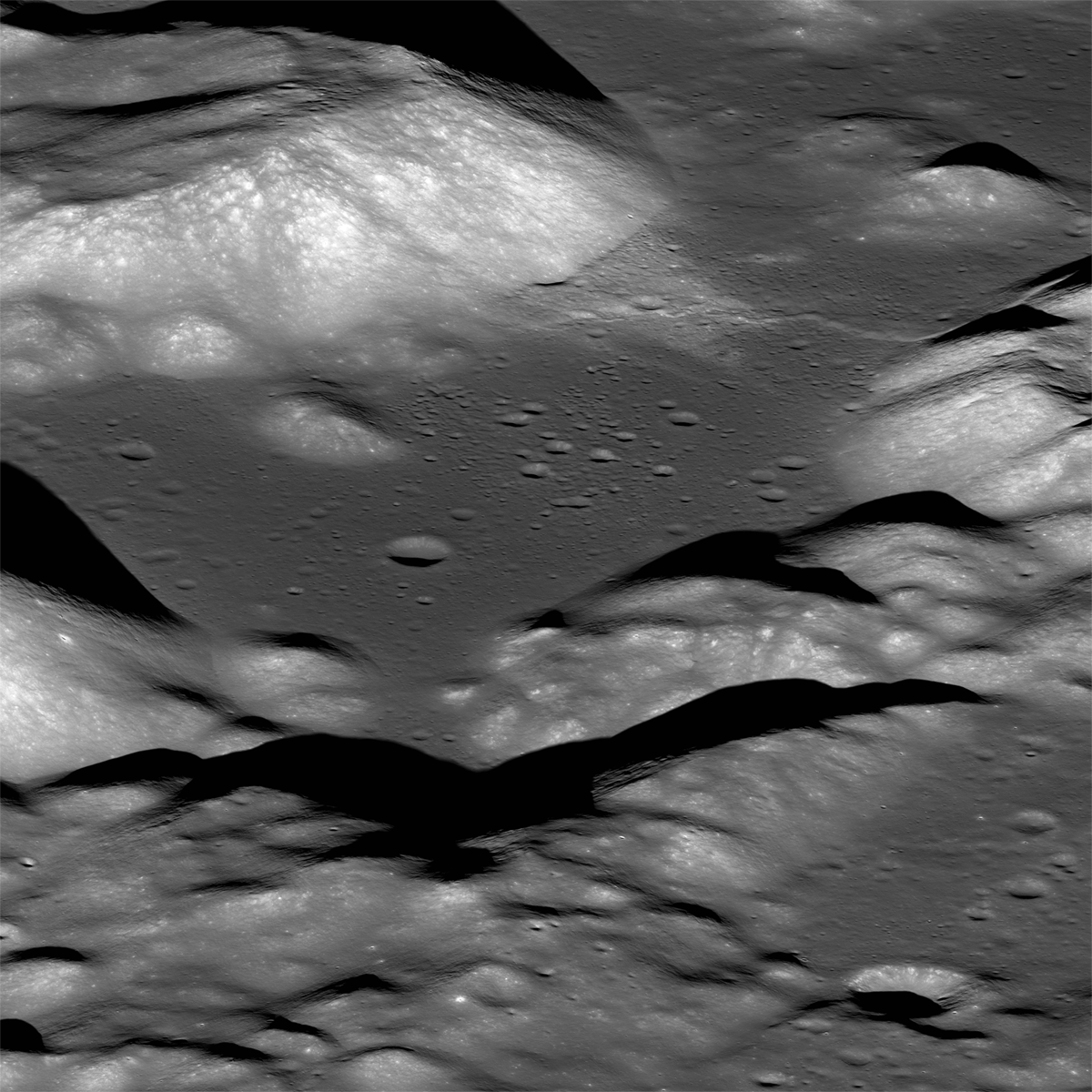
Approach to Taurus Littrow Valley
View similar to what the Apollo 17 astronauts saw as they approached their landing in the magnificent Taurus Littrow Valley. LROC NAC east-to-west oblique image pair, about 18 km wide in center, M192703697LR [NASA/GSFC/Arizona State...
Published on 12 Dec 2012
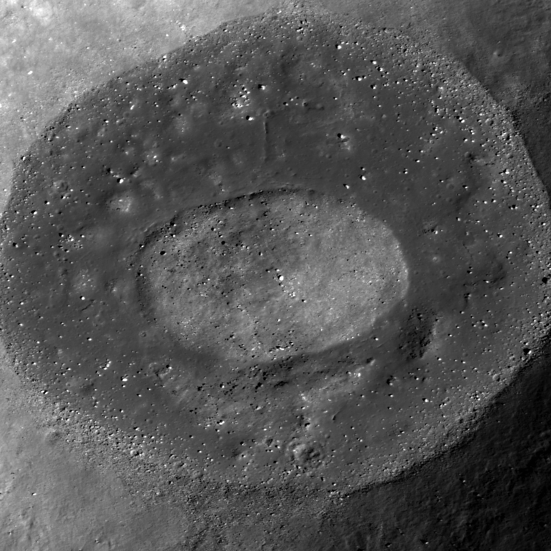
Sunny Side Up
The center of Linné F is filled with a small mound surrounded by a moat of impact melt rock. Image width is ~1450 m, LROC NAC M190509409 [NASA/GSFC/Arizona State University].
Published on 10 Jul 2012
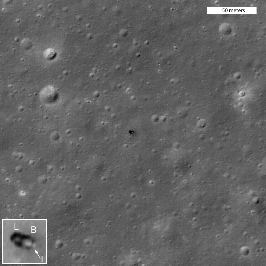
Lunokhod 2 Revisited
Lunokhod 2 rover parked facing southeast with the lid still open. Rover tracks extend north to the final parking place. The inset is a zoomed in view of the rover, the main rover body is labeled B, the open lid is labeled L and the...
Published on 13 Mar 2012