When scientists and engineers brainstorm landing site locations for future lunar missions - robotic or human - they must consider numerous factors. Some of these factors are related to the technology and equipment that will land the mission on the Moon and others are related to the scientific and resource interest of a location. During the Apollo Era, the early Apollo missions focused on engineering goals, specifically landing humans safely on the Moon. Later Apollo missions continued to incorporate engineering (e.g., developing the Lunar Roving Vehicle for more efficient traverses) but largely focused on the geologic science that could be completed at the various landing sites. LROC images, as well as the data from other instruments aboard LRO, provide scientists and engineers the means to study the lunar surface at high-resolution so that future missions can take advantage of the truly rich geology of the Moon.
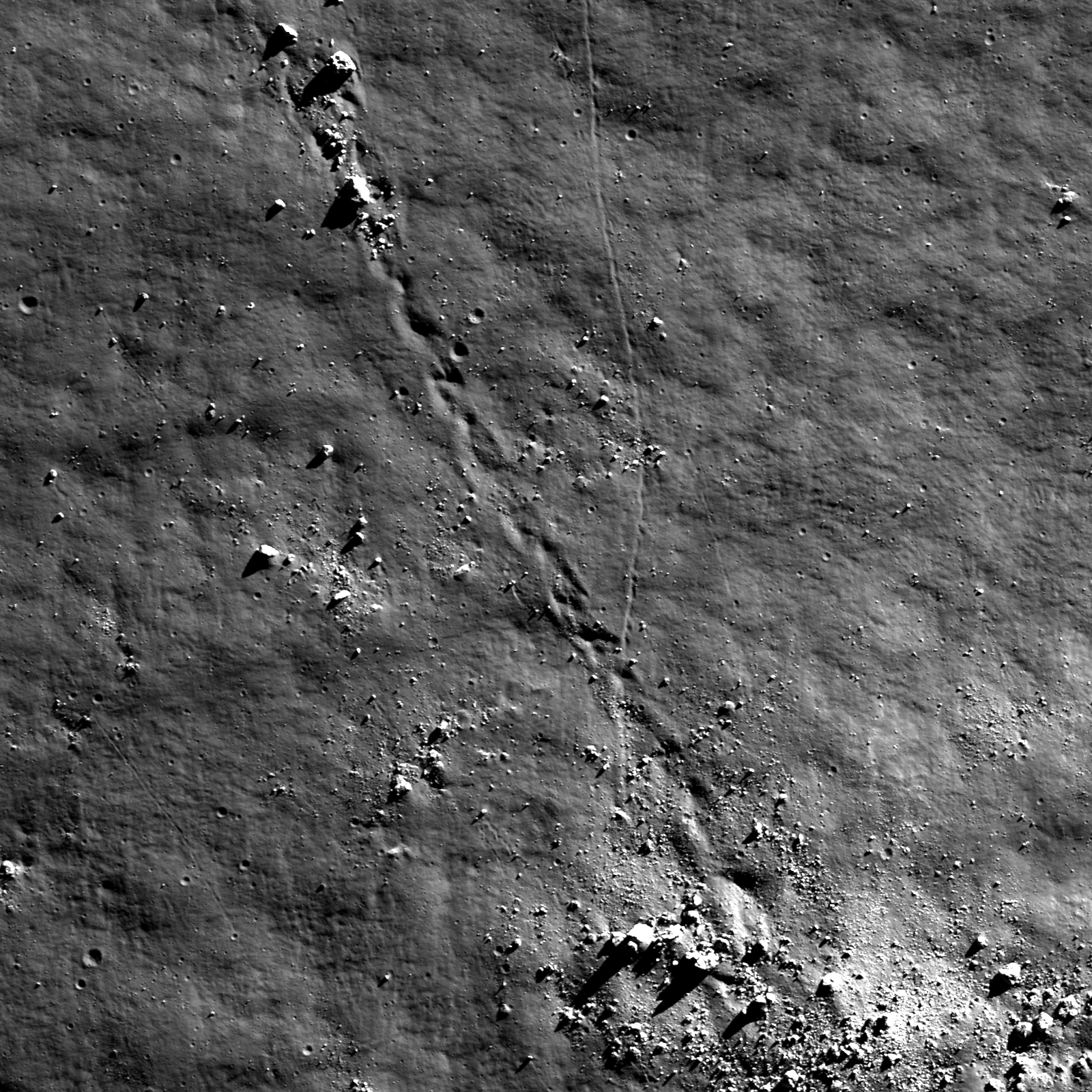
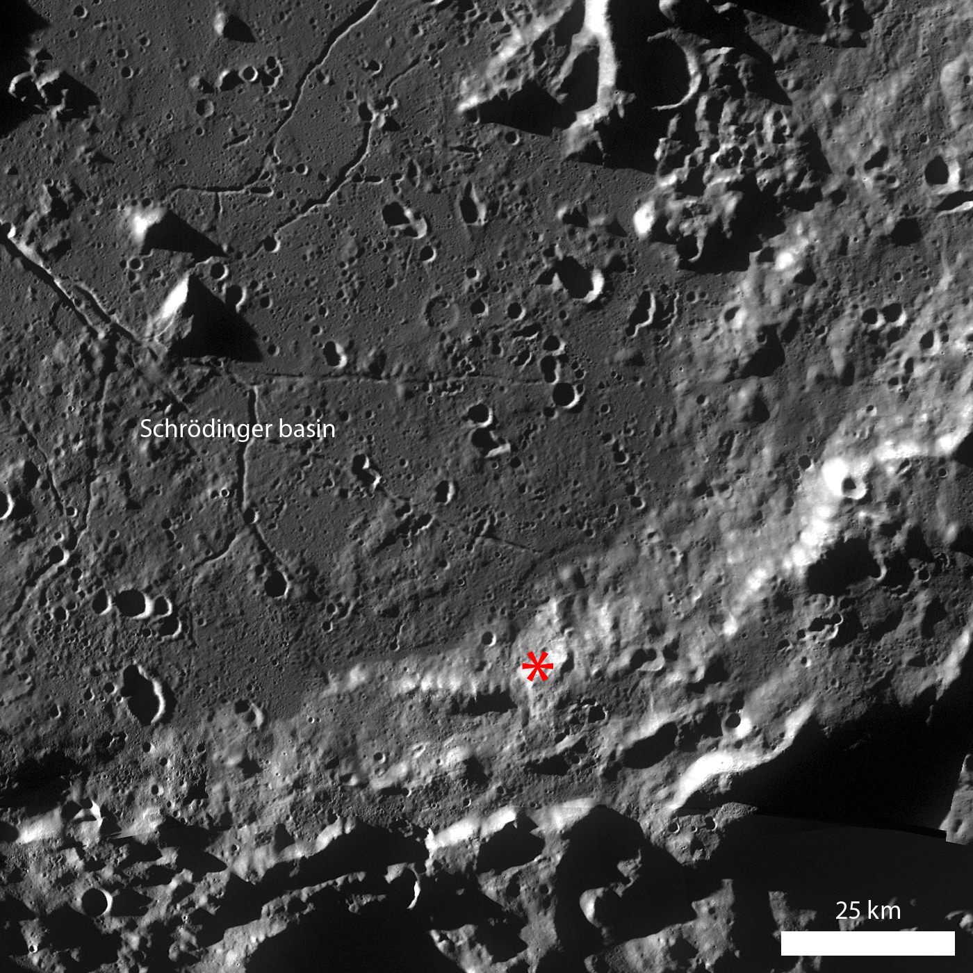
Schrödinger basin (79.13°S, 140.60°E; ~316 km diameter) is a complex geological field site. Schrödinger is located on the rim of the huge South-Pole Aitken basin and, because it impacted into South-Pole Aitken rim material, may have sampled some of the deep lunar crust excavated by the ancient South-Pole Aitken impact. Additionally, the smooth deposits on the basin floor may be a combination of both impact melt and volcanic material. There are also several pyroclastic vents located within the basin, suggesting that at least some episodes of volcanic activity in the basin had high volatile contents. Today's Featured Image highlights a portion of eroding basin wall terrace material. Several boulders around 30 m in diameter - roughly the distance between bases in a baseball field or about two semi-trailer trucks - rolled downhill from a boulder cluster. Their original locations may be derived using the prominent boulder trails left behind during their downhill descent. Sampling these boulders would be particularly useful during a future mission because they represent material from the basin rim and do not require an astronaut or rover to traverse to the higher elevations. In fact, the Apollo 17 mission to Taurus-Littrow sampled a boulder similar to the ones in the opening image, and scientists were later able to analyze the Station 6 Boulder and formulate hypotheses about local and regional geology surrounding the landing site.
How far did the boulders from this wall terrace bounce? Take a look in the full LROC NAC image!
Related Posts: Bouncing, Bounding Boulders!
Bright Boulder Trail
Boulder trails in Menelaus crater
Published by Lillian Ostrach on 17 August 2011
