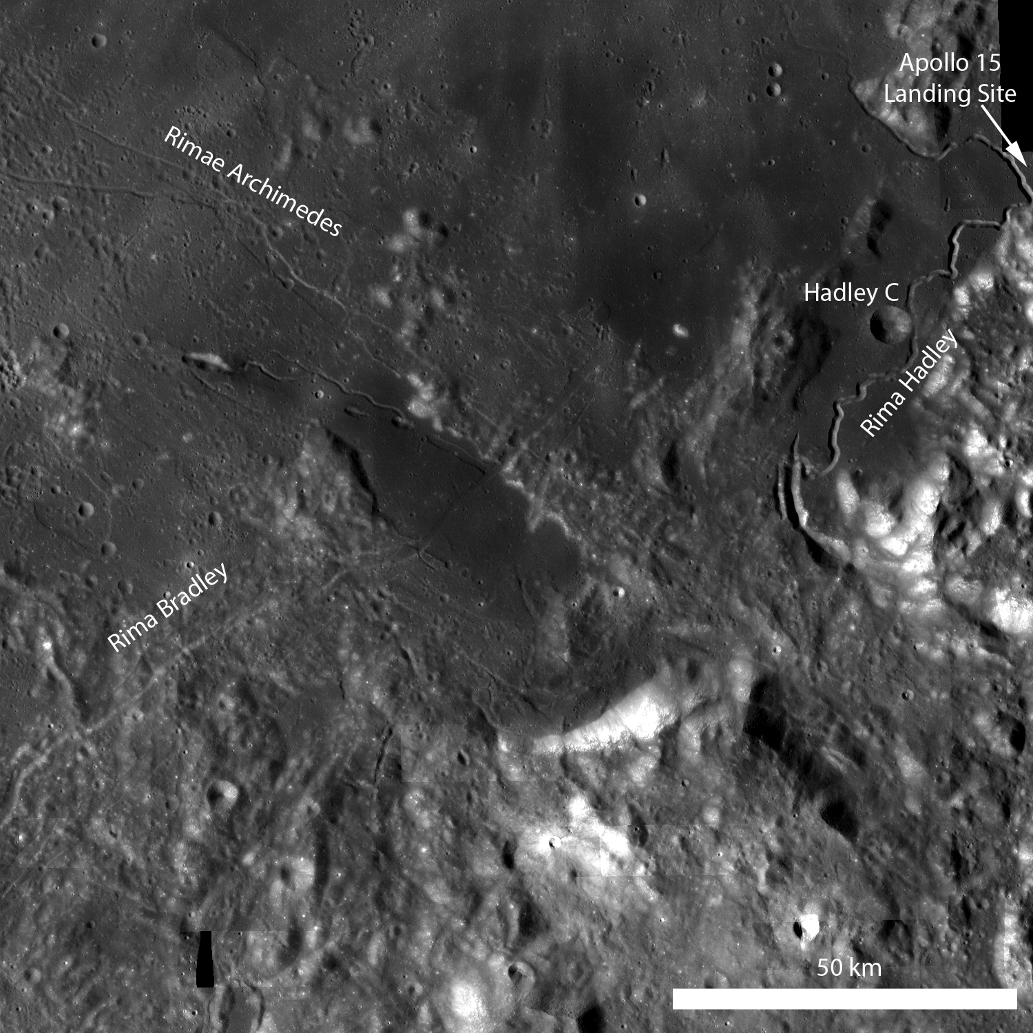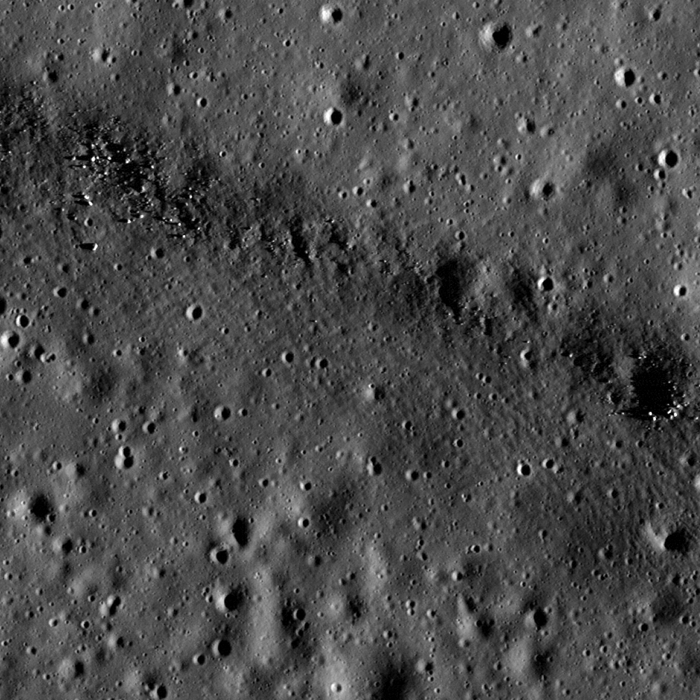
Rima Bradley primarily traverses across highland terrain, but in this portion of an LROC NAC image the rille crosses a mare pond (center of the opening image). Image is 700 m across, illumination is from the right [NASA/GSFC/Arizona State University].
This region is geologically complex, featuring sinuous rilles, mare volcanism, highland mountain ranges, and of course impact craters. Certainly future human missions are needed to explore this area in detail, but for now, explore the following full-resolution images!
LROC WAC monochrome mosaic
Full LROC NAC image
Related posts: Linear Graben
Features of the Rimae Fresnel Area
Hadley-Apennine: the Apollo 15 Landing Site
Published by Lillian Ostrach on 10 February 2011
