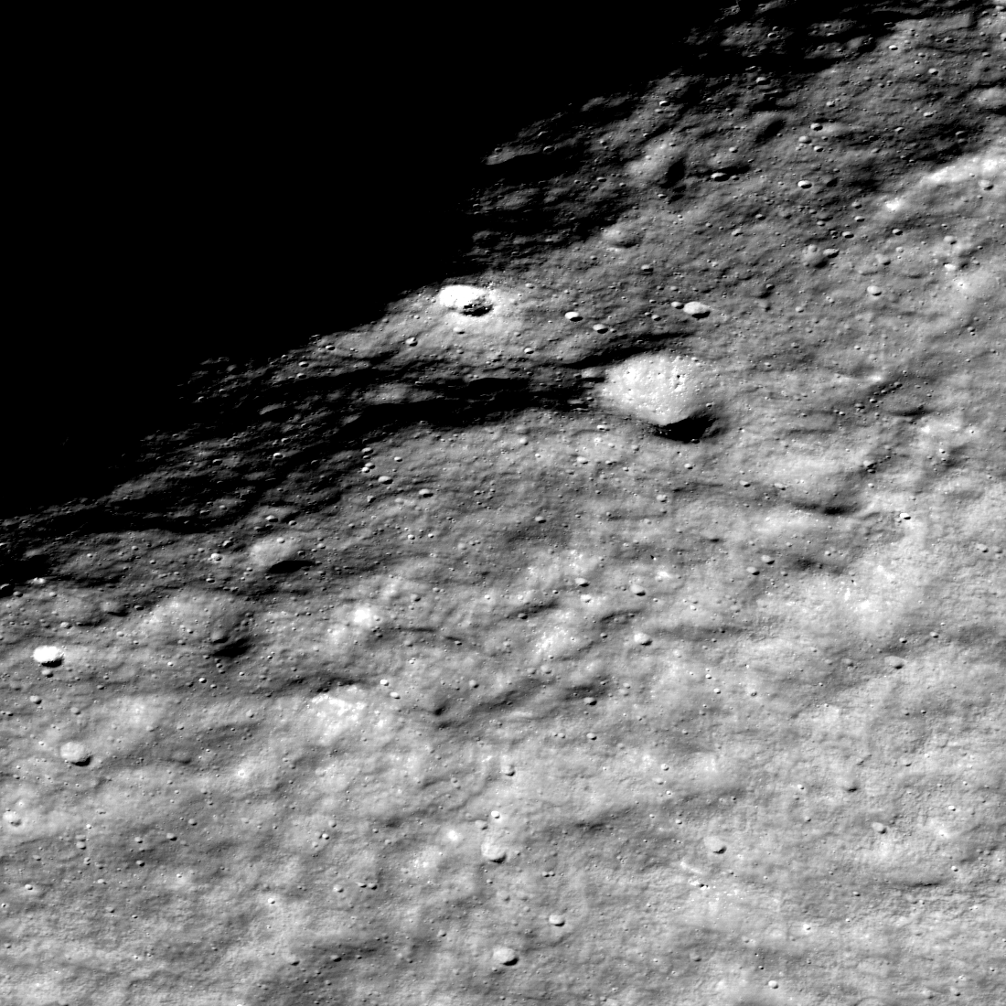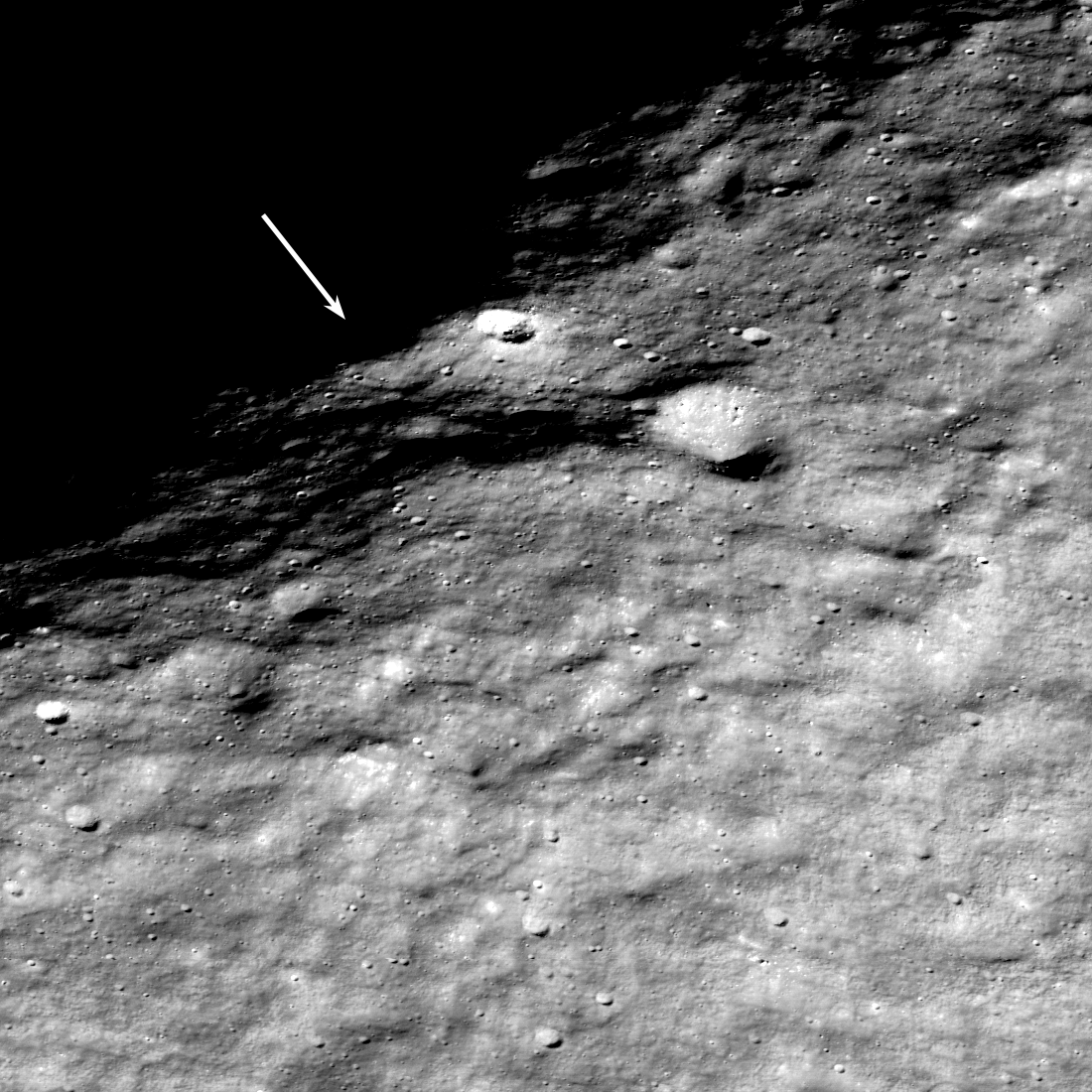
The Lunar Reconnaissance Orbiter (LRO) was placed in lunar orbit in June 2009. Initially, the spacecraft was in a near-polar orbit (90° inclination), and over time its orbital inclination has slowly drifted to 84°. No longer does LRO fly over the pole; however, the LROC NACs can still image the pole when the spacecraft is commanded to roll to the side (sometimes called slewing). Here the spacecraft was at an altitude of 81 kilometers when it slewed 62° capturing this spectacular view of the rim of Shackleton crater. The sub-spacecraft coordinates were 84.47°S, 359.2°E, meaning the view was nearly due south (looking back from nearside to farside down the 0° longitude line). At the time, the sub-solar latitude was 0.15°N and increasing; southern fall.

Much of the shadowed area within Shackleton never receives sunlight; one of the many permanently shadowed regions (PSR) on the Moon. This perpetual darkness hides the landforms within. Next January, a South Korean spacecraft will begin orbiting the Moon carrying a camera designed to image in the shadows: ShadowCam. What will this sensitive camera find?

Browse the full oblique view below; imagine traversing along the rim of Shackleton crater from the lower left to its intersection with the Shackleton de Gerlache ridge, a distance of about 12 kilometers. As you explore this fascinating area, refer to a recent geomorphic map highlighting key geologic features near the south pole. The ridge is in one of the thirteen NASA Artemis landing areas; perhaps humans will explore this area in the near future, NAC M1407524099LR [NASA/GSFC/Arizona State University].
Related Featured Images
Traversing the Shackleton de Gerlache Ridge
Lunar Exploration: Planning The Next Steps
Published by Mark Robinson on 19 October 2022