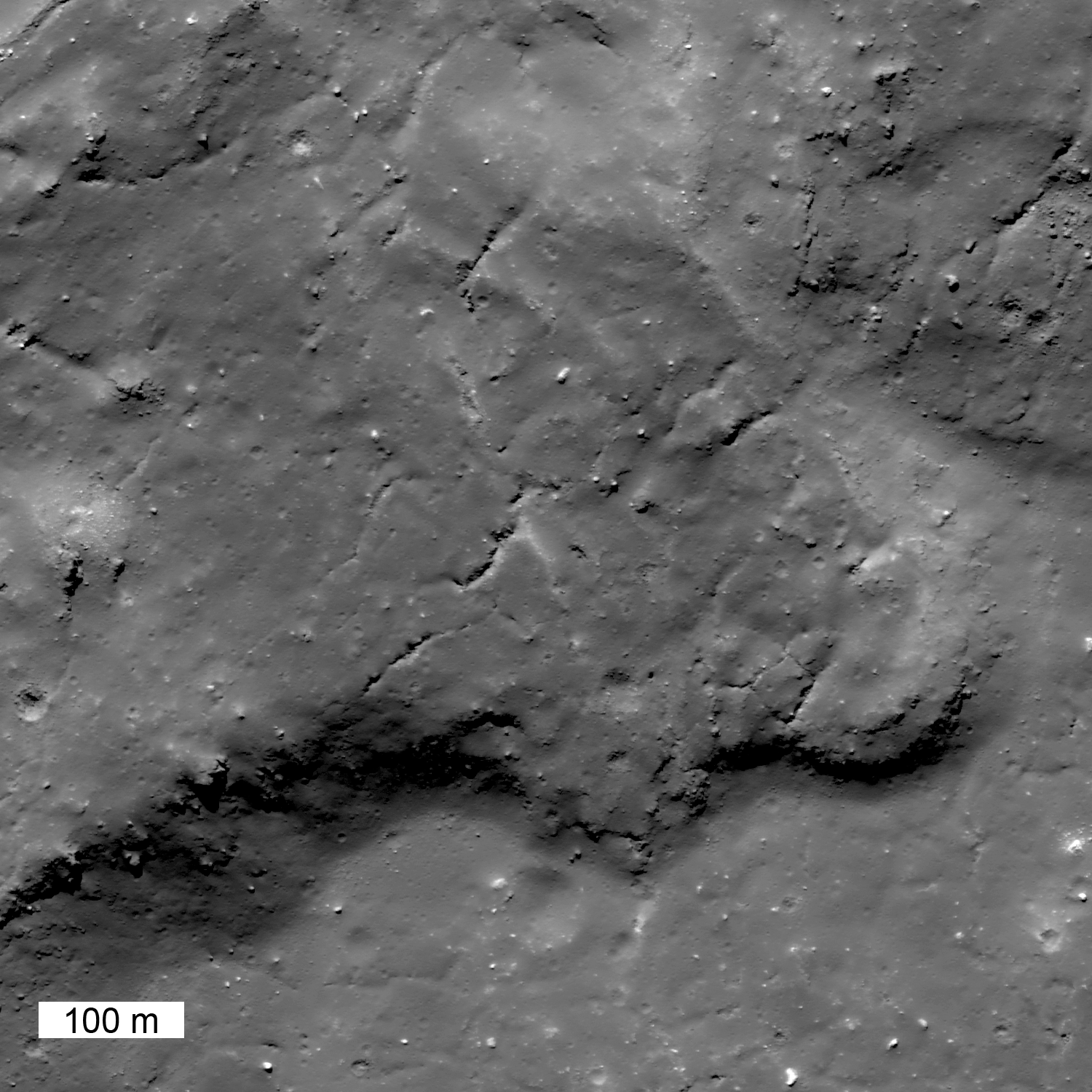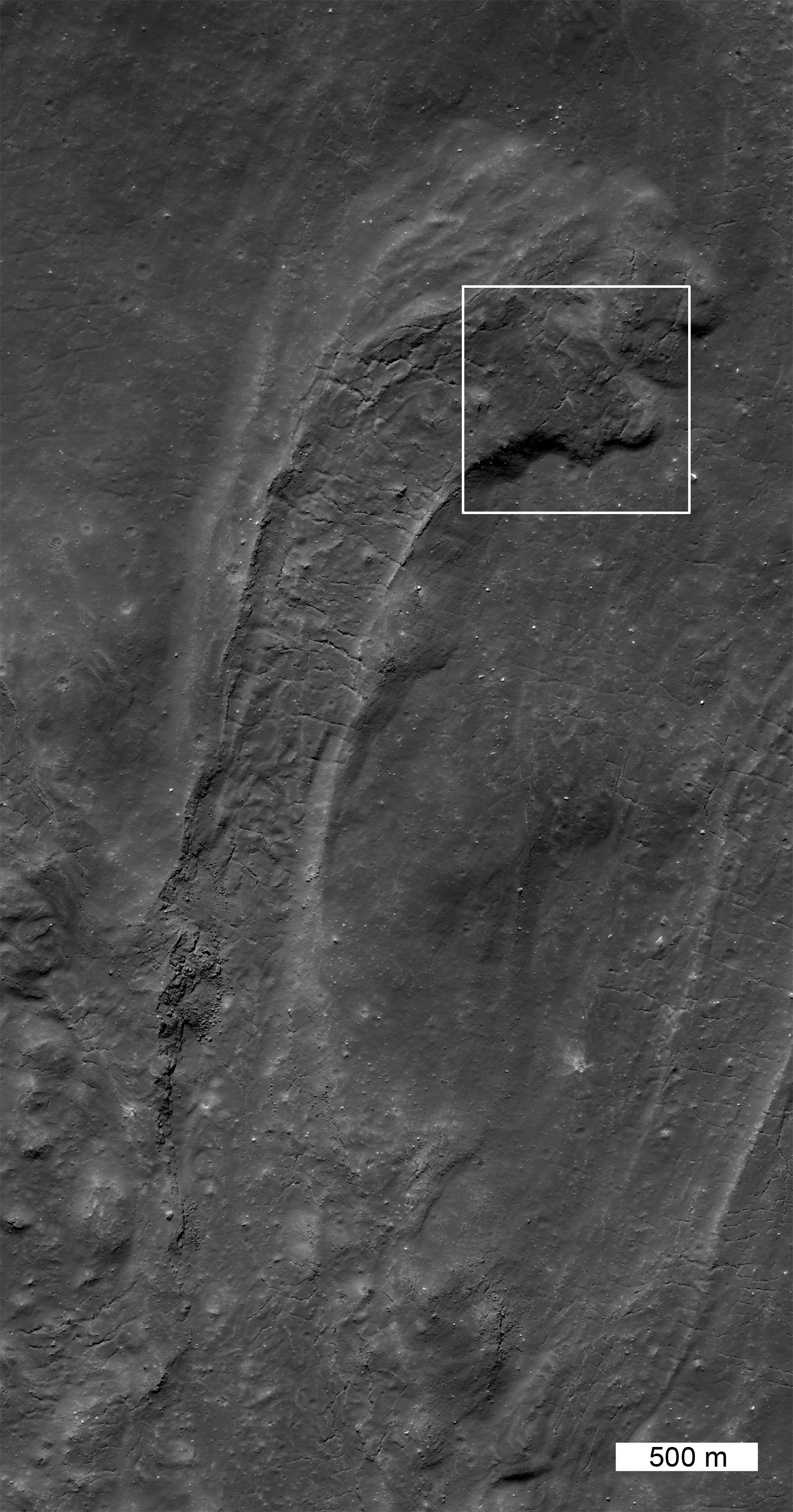
Impact melt is formed during the crater excavation process due to the intense heating of the target rocks. Some of the melt is ejected from the crater and deposited on the rim. In this case, on the north rim of Tycho, not far from the Surveyor 7 landing site, a large amount of melt was deposited, pooled and then flowed downslope away from the crater. This flow (41.162°S, 348.605°E) is about 21 km from the northern rim. Upslope, toward the rim, there are also numerous smaller pools of impact melt (now frozen to solid rock). Contrast this flow with the River of Rock on the southeast side of Tycho crater.
This giant frozen flow is more than 10 km long! When the flow emerged onto the plains it was about 1.3 km wide; at the terminus it spread out about twice as wide (2.7 km). Along the center of the flow is a channel with levees; the channel is about 1 km wide. In the levee walls and on the flanks of the flow are layers which formed when surges of melt spilled over onto the side of the flow. The morphology of the end of the flow, with lobes stepping to the right, indicates that with each surge, the end of the flow was directed eastward. The surface within the channel shows tension cracks that are perpendicular to the flow direction and formed as the solidified crust fractured. There are several other flows of impact melt on the northern flank, although this is the most dramatic. Impact melt also fills much of the crater floor.
Explore this giant impact melt flow in the full NAC image!
Related Posts
Polygonal Fractures on Tycho ejecta
Published by Jeff Plescia on 14 August 2012

