
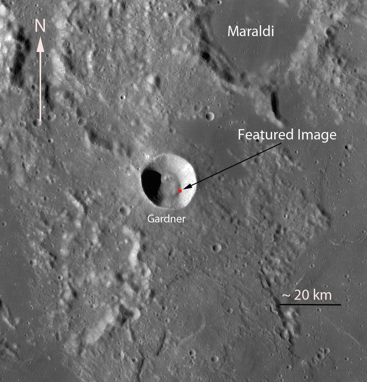
Among the most visually spectacular revelations of the Narrow Angle Camera are the variety of landforms showing the many ways that debris flows interact with their landscapes. Like a braided stream, these dry flows of pulverized rock twist and turn their way down the slopes of Gardner crater (17.7°N, 33.8°E) until they come to rest on the crater floor. Gardner is located within the boundary highlands separating Mare Tranquillitatis and Mare Serenitatis. Visible are signs of sheering within the flows as some portions met with enough frictional resistance to cease flowing, while other portions continued down the slope. Imagine this surging wall of fluidized rock plummeting down the crater wall and out onto the floor shortly after the impact excavated the main crater. It would have been a jaw-dropping sight to behold!
The context image below shows Mare Tranquillitatis basalt deposits visible in the margins surrounding the narrow region of higher terrain where Gardner crater is located. Nearby Maraldi crater (northeast of Gardner) has been filled with similar deposits.
A few minutes of exploration with the full NAC frame will make these flows come alive! Related image posts include Lunar Lanslides, Tendrils in Reiner Crater, and Layering in Messier A.
Published by James Ashley on 17 January 2012