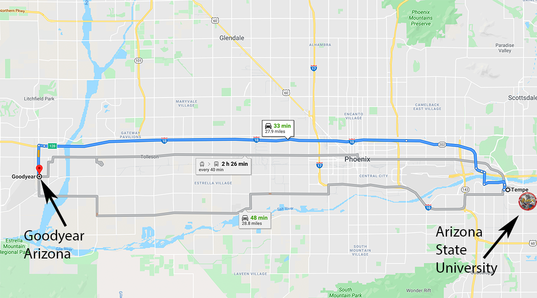
Crookes crater is located just outside the Korolev Basin and north of the South Pole Aitken Basin on the lunar farside. The crater is roughly 48 kilometers (about 30 miles) across, and though craters of this size are common on the Moon's surface, each one represented a spectacular impact event. Imagine the amount of energy it takes to produce a crater that is the same driving distance from the LROC SOC in Tempe, AZ to Goodyear, AZ – a 33 minute drive on the interstate!
Crookes crater is a Copernican crater, meaning it is relatively young with many well preserved features: the central peak, impact melt, and an exemplery secondary crater chain on its north-east ejecta blanket, seen below. A secondary crater chain is formed as material ejected during the impact event hits the surface nearby. Secondary craters are often not perfectly circular, and have asymmetric shapes and ejecta that point back to the direction of the main impact event. The herringbone pattern in the chain below results from the very low angle at which the ejecta from Crookes crater impacted the surface.
![Crookes Crater Secondary Chain NE of Crookes Crater. LROC NAC Mosaic NAC image pairs M1244721800R, M1244721800L, M1244728832R, M1244728832L, M1244735864R, and M1244735864L[NASA/GSFC/Arizona State University].](/ckeditor_assets/pictures/855/content_Crookessecondarychain.png)
A crater is formed in three main phases:
(1) Compression, when the projectile impacts the surface.
(2) Decompression and excavation, when the consequent shock wave causes the projectile to melt and vaporize and target material is ejected. If an impact event is large enough, the crater floor rebounds to form a central peak, like the one seen in Crookes.
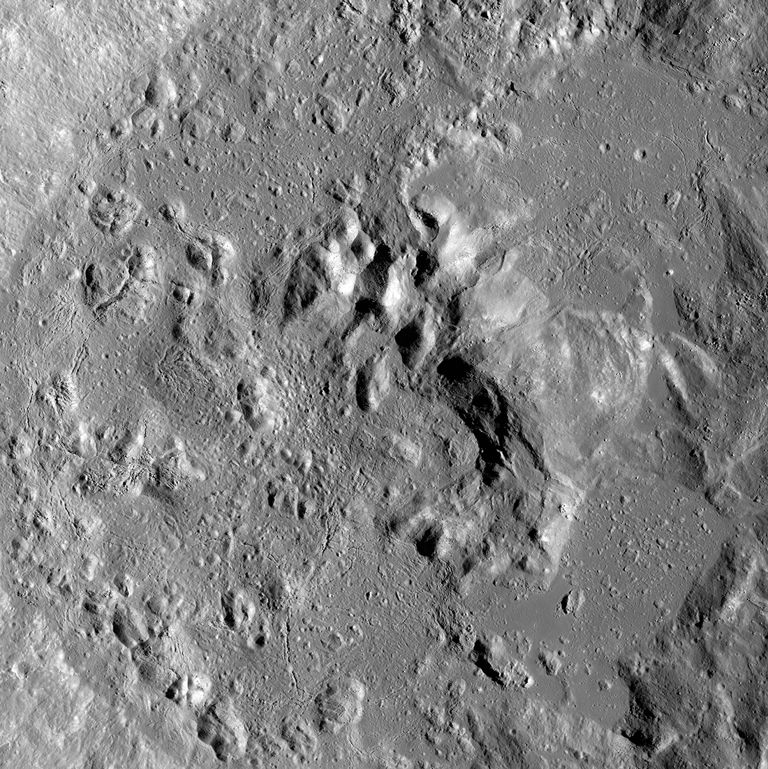
(3) Modification, when the ejecta and melt slump back into a crater resulting in what we now observe (for a young crater). Surrounding Crookes' central peak, you can see impact melt that pooled in the crater floor, and rocks and debris that slumped down the crater wall and were frozen in place as the impact melt solidified to rock.
![Crookes Crater Central Peak Mosaic NAC image pairs M1260022964R, M1260022964L, M1260029996R, M1260029996L, M1260037029R, and, M1260037029L [NASA/GSFC/Arizona State University].](/ckeditor_assets/pictures/854/content_Crookescentralpeak.png)
Crookes crater was first seen by NASA astronauts Borman, Anders, and Lovell during the Apollo 8 mission! Take a look for yourself!
Do you want to explore this crater more? Check out this Zoomify of Crookes Crater below
Related Featured Images
Tycho Central Peak Spectacular!
Central Peak of Bullialdus Crater
Tsiolkovskiy Central Peak Oblique
Aitken Central Peak, Seen Obliquely
Download this Feature Mosaic for yourself
Want to learn more about controlled mosaics? Check out the post: Feature Mosaics: Behind the Seams
Published by Alyssa Bailey on 27 October 2020