Pits Atlas: Crookes 5a
| Impact Melt pit: Crookes | |
|---|---|
| Name | Crookes 5a |
| Lat. | -10.6859 |
| Long. | 194.8609 |
| Desc. | Largest pit in a cluster of 3-7 pits in and around a set of three PRFs. This one is a round pit in a saddle between the southern two PRFs. Th south wall is a slope from rim to floor. Crookes 5b is ~80m N in the E flank of one of those PRFs. Crookes 5c is the larger (eastern) collapse in another PRF, ~80m east of Crookes 5b. There is a shallow collapse adjacent to Crookes 5c to the west. Crookes 5d is a tiny pit ~30m east of Crookes 5b, in a valley between the 5b PRF and the 5c PRF. There are two or three collapses, one of which might qualify as a very shallow pit, ~75m to the west of Crookes 5a. |
| Types | |
| Terrain | Impact Melt |
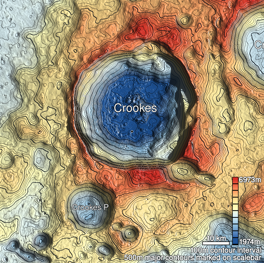
| Host Feature | Crookes |
| Funnel Min. Diam. | 30 |
| Funnel Max. Diam. | 32 |
| Inner Min. Diam. | 22 |
| Inner Max. Diam. | 22 |
| Azimuth | 20 |
| Depth | 10.0 |
| Depth 1 | 12.0 |
| Depth 2 | 9.8 |
| Depth 3 | 8.5 |
| Best Stereo Left | M176359843L |
| Best Stereo Right | M176359843L |
| DTMs | |
| Clipping Width | 200 |
| Other IMGs | |
| Data Warning | |
| Entrance Ramp | Y |
| Overhang | ? |
| Nearby Pits? | Y |
| Nearby Fractures? | N |
| Nearby Depressions? | Y |
| In Dome | Y |
| Beside Dome | Y |
| In Depression | N |
| Colinear Pits | N |
| Colinear Depressions | N |
| Colinear Fractures | N |
| Crookes 5a Shaded Relief | |
|---|---|
 |
| M1119966613L | |
|---|---|
 |
|
| Line | 16898 |
| Sample | 789 |
| Inc. Angle | 28.54 |
| Emission Angle | -2.79 |
| Time | 10.25 |
| Resolution | 0.93 |
| M1183552745R | |
|---|---|
 |
|
| Inc. Angle | 55.13 |
| Emission Angle | 0.71 |
| Time | 8.37 |
| Resolution | 1.01 |
| M1189437272L | |
|---|---|
 |
|
| Inc. Angle | -57.72 |
| Emission Angle | 2.38 |
| Time | 15.83 |
| Resolution | 0.87 |
| Crookes 5a Stereo |
|---|
 |