| Desc. |
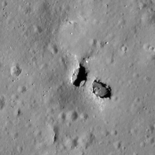
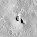
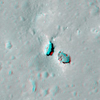
Elliptical pit, northwestern of two pits in a PRF. The two pits are separated by a bridge, 19m long, ~9.5m wide at the narrowest point. The cross-sectional thickness is ~5-7m at an angle ~45 degrees off vertical, depending on the image measured and how close to flat the ground the shadow is on is (implying a ~4m vertical thickness if the bridge has an elliptical cross-section). The S end of the bridge is the highest point on the PRF, and the N end is near the base. The floor of this pit slopes down towards a point under the S end of the bridge, and there is a scattering of 1-3m boulders on the floor. There is a possible 1-2m wide break in the rim in the N, leading into a ~40m wide shallow depression, although high-Sun images suggest that there is still a 1-2m drop at the lowest point. Other nearby features are a string of tiny pits/fractures connected by depressions ~100m N, roughly in line with King 1a and the depression just N of it; a ~5m fracture in a depression ~65m S, also in line with the northern features; and a string of small depressions ~220m S. |