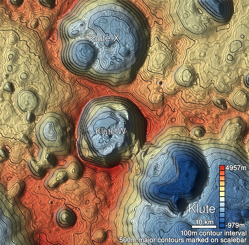
Pits Atlas: Klute W 5
| Uncertain, Impact Melt pit: Klute W | |
|---|---|
| Name | Klute W 5 |
| Lat. | 38.1018 |
| Long. | 216.9323 |
| Desc. | Small pit(?) on the SW side of a slight rise. Funnel is very pronounced, and south wall is a slope down to floor level (probably). Hard to make out the morphology. ~200m NW of Klute W 3, ~150m SE of a feature that appears to be a cliff cutting off the end of yet another small rise. |
| Types | Uncertain |
| Terrain | Impact Melt |
| Host Feature | Klute W |
| Funnel Min. Diam. | 14 |
| Funnel Max. Diam. | 21 |
| Inner Min. Diam. | 4 |
| Inner Max. Diam. | 5 |
| Azimuth | 140 |
| Depth | 2.0 |
| Depth 1 | N/A |
| Depth 2 | 2.1 |
| Depth 3 | N/A |
| Best Stereo Left | M143201144L |
| Best Stereo Right | M143201144L |
| DTMs | |
| Clipping Width | 200 |
| Other IMGs | |
| Data Warning | Might be able to get multiple shadow depths, but most images are either slewed, low-res, or have the sun shining straight down the collapsed slope. |
| Entrance Ramp | Y? |
| Overhang | ? |
| Nearby Pits? | Y |
| Nearby Fractures? | N |
| Nearby Depressions? | Y |
| In Dome | Y |
| Beside Dome | N |
| In Depression | N |
| Colinear Pits | Y? |
| Colinear Depressions | N |
| Colinear Fractures | N |
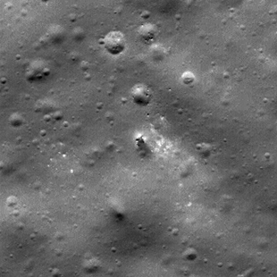
| Klute W 5 Shaded Relief | |
|---|---|
 |
| M140840176R | |
|---|---|
 |
|
| Line | 12214 |
| Sample | 670 |
| Inc. Angle | 39.86 |
| Emission Angle | 0.1 |
| Time | 11.67 |
| Resolution | 0.62 |
| M1115116170L | |
|---|---|
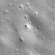 |
|
| Inc. Angle | -47.01 |
| Emission Angle | 2.89 |
| Time | 14.15 |
| Resolution | 1.43 |
| M1119832662L | |
|---|---|
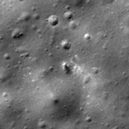 |
|
| Inc. Angle | 42.96 |
| Emission Angle | -2.63 |
| Time | 10.46 |
| Resolution | 1.42 |
| Klute W 5 Stereo |
|---|
 |