Mount Marilyn holds a special place in the history of lunar exploration. This 1400-meter tall peak straddling the boundary between Mare Tranquillitatis and Mare Fecunditatis served as a critical landmark as Apollo 11 astronauts descended to the surface. If the landmark was visible at a specified time, the astronauts knew they were on-track.
Before the Apollo 8 flight the astronauts picked distinctive landmarks along potential landing routes, and Jim Lovell picked Mount Marilyn. Marilyn and Jim, high school sweethearts, were married shortly after Jim graduated from the Naval Academy in 1952. Today is the 50th anniversary of the launch of Apollo 8, and Marilyn and Jim have been married for more than 65 years!
Lovell first saw Mount Marilyn in person as the Apollo 8 Command Module flew over and he called out the landmark at 72:05:40 Ground Elapsed Time: Lovell: I can see the old second initial point right now, Mount Marilyn.
Mount Marilyn appears on many Apollo-era technical reports and maps, but the name was not officially recognized by the International Astronomical Union (IAU) until recently. This historic landmark was officially named "Mount Marilyn" on 26 July 2017.
Now, you can fly over Mount Marilyn in a video produced by the LROC team. A model of Mount Marilyn was created in a 3D animation program. The topography was derived from a Digital Terrain Model and the texture, or shading of the surface, is a NAC mosaic.
NAC stereo observations allow for very high resolution topographic models (2 to 5 meter pixels), which are great for producing fly-arounds, but also allow for detailed science analysis and future mission planning. Below is a color shaded relief map of the western side of Mount Marilyn. Hot colors represent higher elevations while cooler colors indicate lower elevations (minimum elevation =-1600 meters, maximum = 145 meters) [NASA/GSFC/Arizona State University].
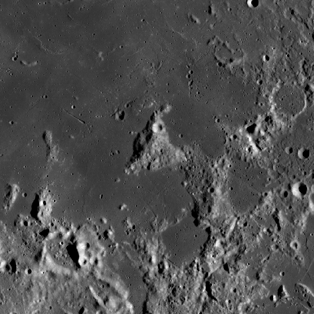
And finally you can admire an oblique image of Mount Marilyn acquired by LROC in 2013. NAC M1138617953LR [NASA/GSFC/Arizona State University].
Related Featured Image:
Mt. Marilyn: Navigating to the Surface
Published by Mark Robinson on 21 December 2018