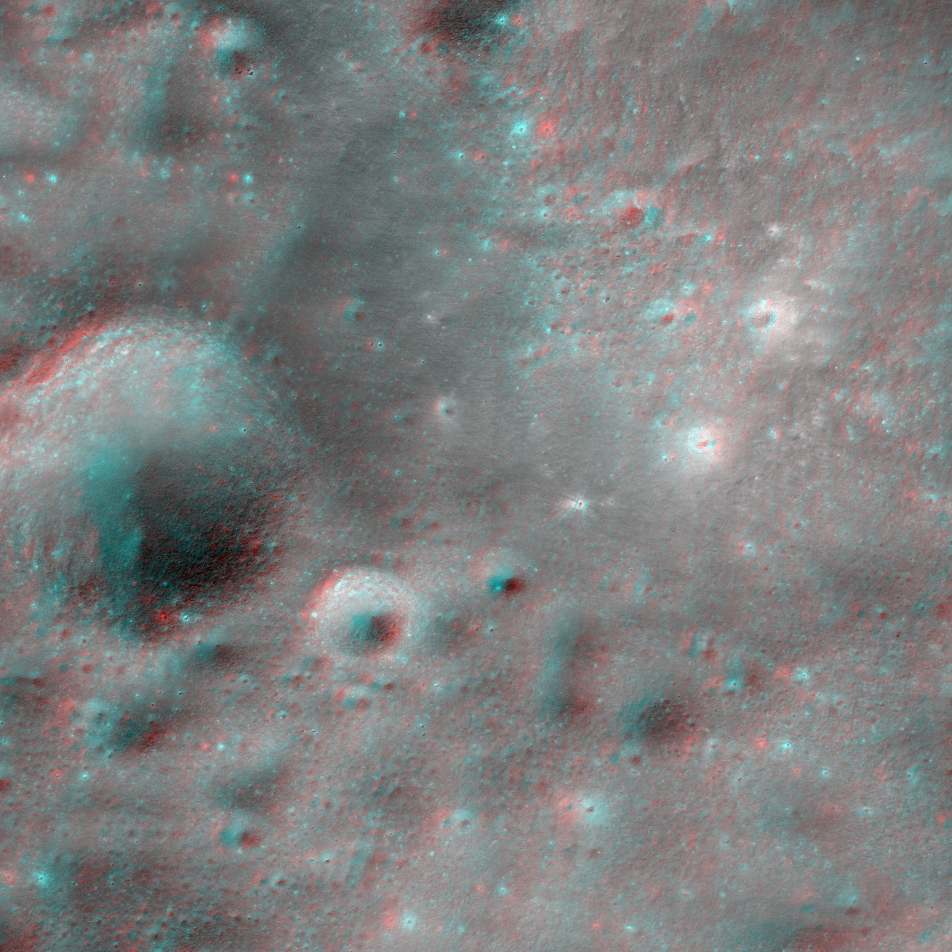
Links related to this anaglyph:
Full RDR product page
Lunaserv context map
Quickmap context map
EDRs:
M1150763131R
M1150763131L
M1150784485R
M1150784485L
Published by Kristen Paris on 22 May 2015
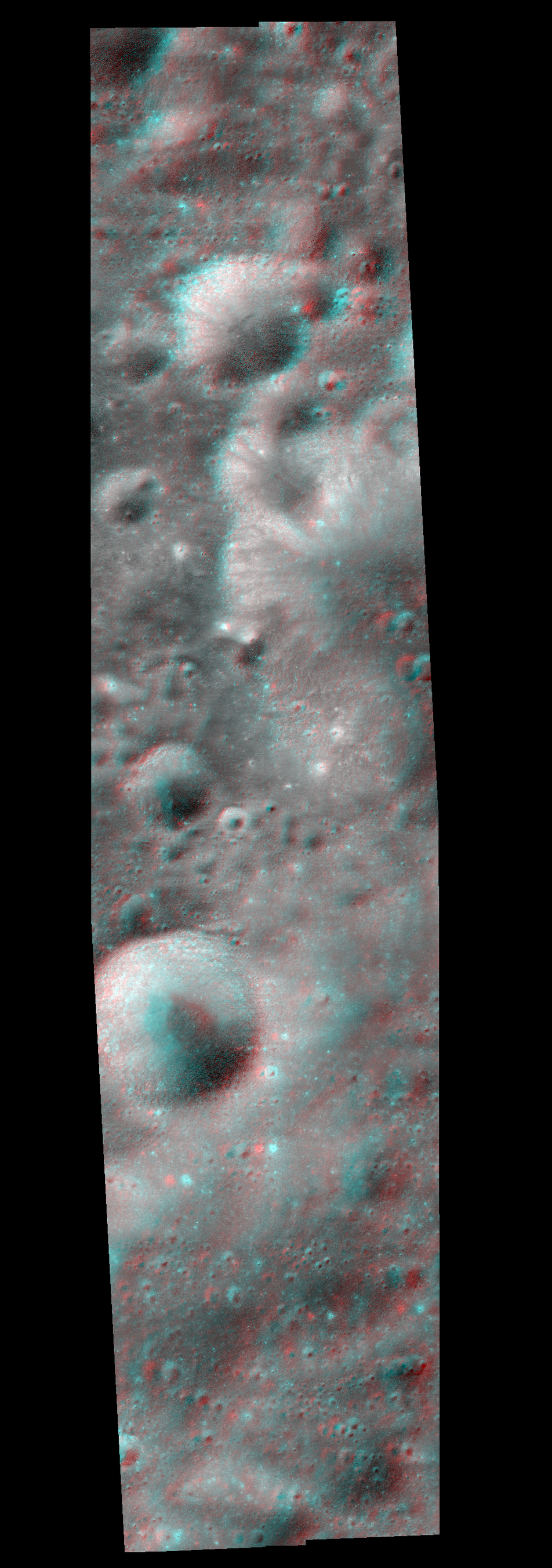
Links related to this anaglyph:
Full RDR product page
Lunaserv context map
Quickmap context map
EDRs:
M1150763131R
M1150763131L
M1150784485R
M1150784485L
Published by Kristen Paris on 22 May 2015