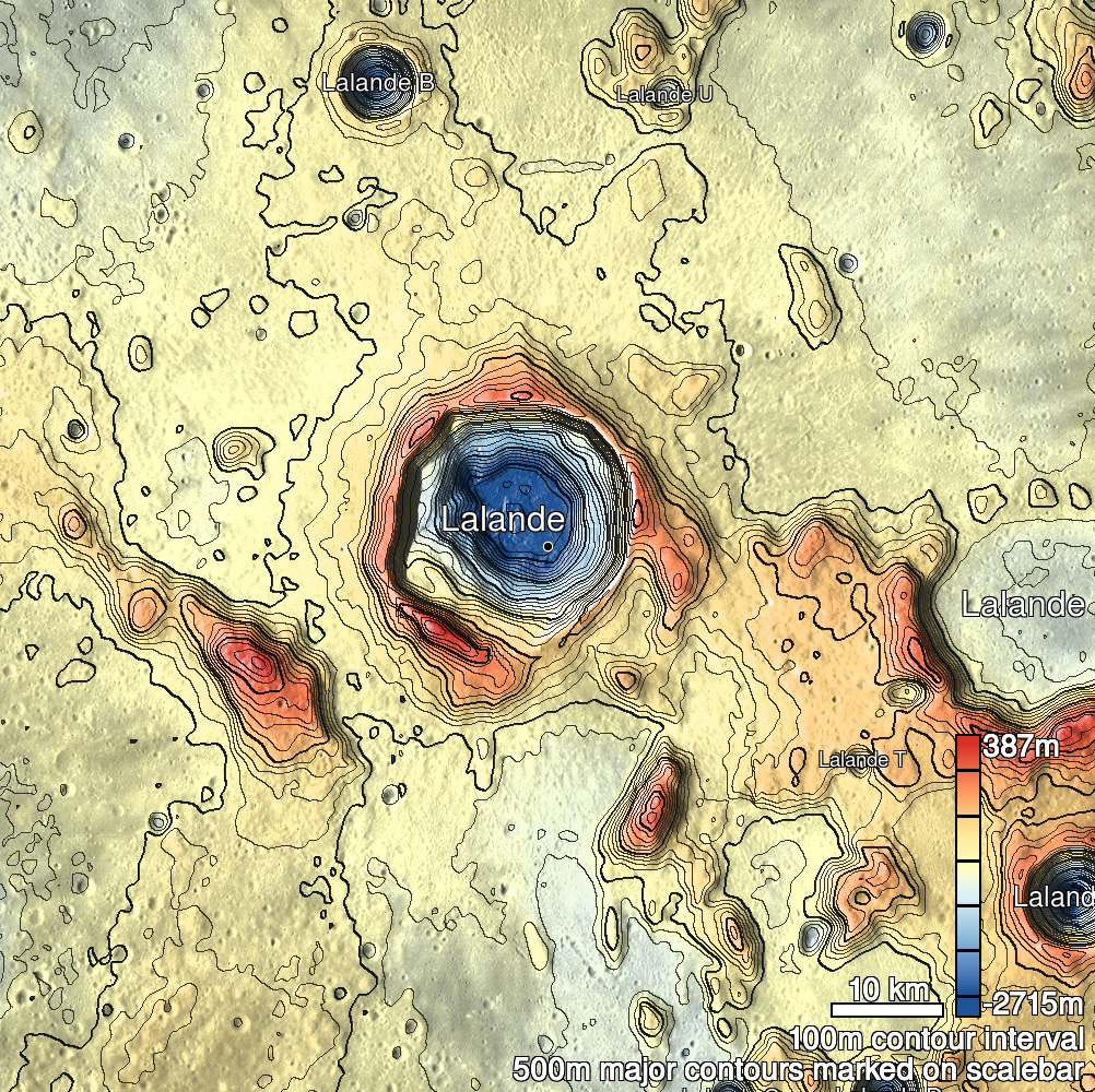
Pits Atlas: Lalande 3a
| Impact Melt pit: Lalande | |
|---|---|
| Name | Lalande 3a |
| Lat. | -4.5322 |
| Long. | 351.4893 |
| Desc. | Rectangular pit flanked by two much shallower pits (3b and 3c). Floor appears smooth in only (low-res) image we have of it. There is a heavily-fractured and collapsed region ~135m NE, and several sub-5m possible pits to the E. |
| Types | |
| Terrain | Impact Melt |
| Host Feature | Lalande |
| Funnel Min. Diam. | 10 |
| Funnel Max. Diam. | 13 |
| Inner Min. Diam. | 7 |
| Inner Max. Diam. | 8 |
| Azimuth | 45 |
| Depth | 8.0 |
| Depth 1 | >5.0 |
| Depth 2 | 7.6 |
| Depth 3 | >2.0 |
| Best Stereo Left | M1180172051R |
| Best Stereo Right | M1180172051R |
| DTMs | |
| Clipping Width | 200 |
| Other IMGs | |
| Data Warning | Stereo is accidental and probably only works for manual viewing. |
| Entrance Ramp | N |
| Overhang | ? |
| Nearby Pits? | Y |
| Nearby Fractures? | Y |
| Nearby Depressions? | Y |
| In Dome | N |
| Beside Dome | N? |
| In Depression | N |
| Colinear Pits | Y |
| Colinear Depressions | N |
| Colinear Fractures | N? |
| Lalande 3a Shaded Relief | |
|---|---|
 |
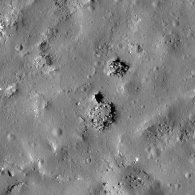
| M114009947L | |
|---|---|
 |
|
| Line | 31422 |
| Sample | 2652 |
| Inc. Angle | 56.59 |
| Emission Angle | -1.63 |
| Time | 8.23 |
| Resolution | 0.5 |
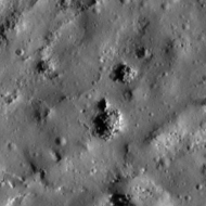
| M1180172051R | |
|---|---|
 |
|
| Inc. Angle | 15.44 |
| Emission Angle | 0.11 |
| Time | 11.03 |
| Resolution | 1.0 |
| M1096551351L | |
|---|---|
 |
|
| Inc. Angle | -68.53 |
| Emission Angle | 0.45 |
| Time | 16.57 |
| Resolution | 1.03 |
| Lalande 3a Stereo |
|---|
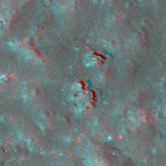 |