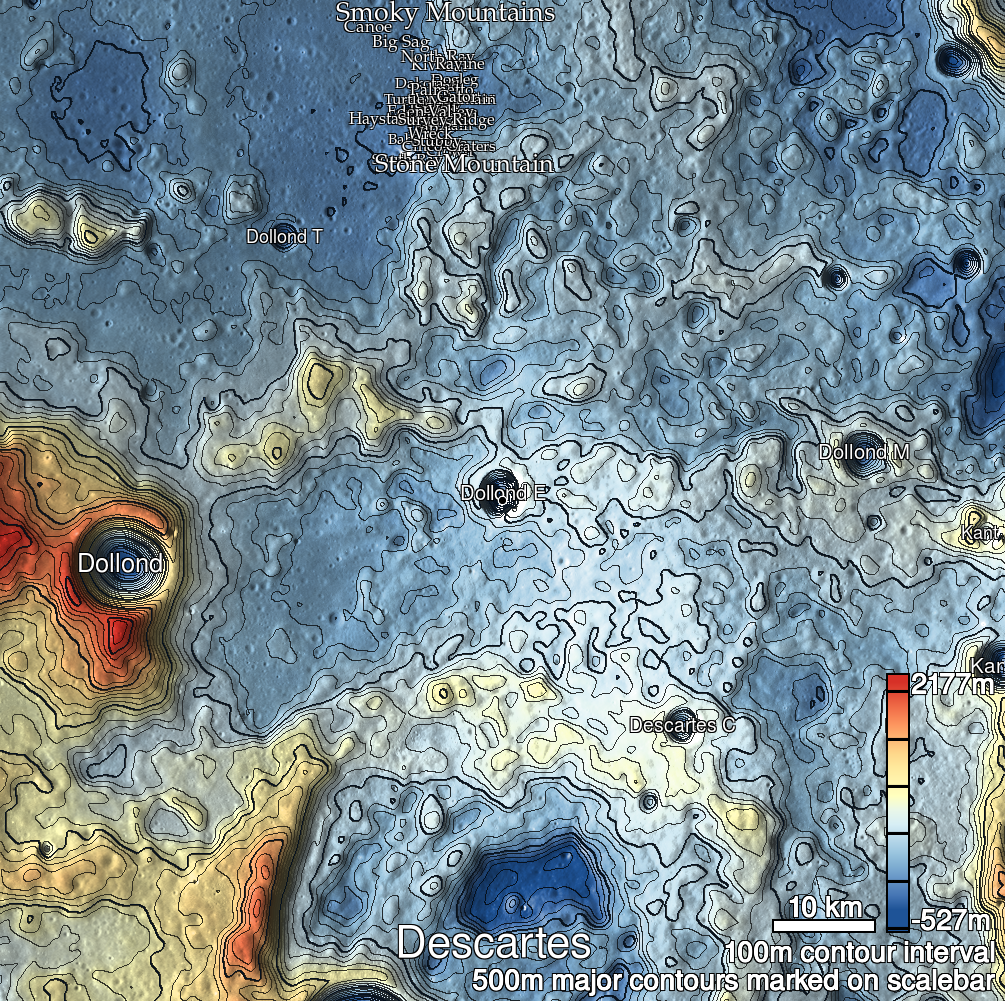
Pits Atlas: Dollond E 1d
| Impact Melt pit: Dollond E | |
|---|---|
| Name | Dollond E 1d |
| Lat. | -10.2738 |
| Long. | 15.7035 |
| Desc. | Elliptical depression 40m east of Dollond E 1a. Seems to be a cliff on the north side, and a smooth slope on the south. Can't make out much about the morphology due to resolution and limited incidence angles. |
| Types | |
| Terrain | Impact Melt |
| Host Feature | Dollond E |
| Funnel Min. Diam. | 8 |
| Funnel Max. Diam. | 11 |
| Inner Min. Diam. | N/A |
| Inner Max. Diam. | 11 |
| Azimuth | 70 |
| Depth | 14.0 |
| Depth 1 | 13.5 |
| Depth 2 | 12.7 |
| Depth 3 | 15.0 |
| Best Stereo Left | M1121138205R |
| Best Stereo Right | M1121138205R |
| DTMs | |
| Clipping Width | 200 |
| Other IMGs | M1208262541L |
| Data Warning | |
| Entrance Ramp | N? |
| Overhang | ? |
| Nearby Pits? | Y |
| Nearby Fractures? | Y |
| Nearby Depressions? | N |
| In Dome | N |
| Beside Dome | Y |
| In Depression | Y? |
| Colinear Pits | Y? |
| Colinear Depressions | N |
| Colinear Fractures | N |
| Dollond E 1d Shaded Relief | |
|---|---|
 |
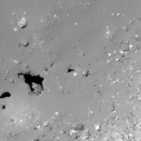
| M1177656184R | |
|---|---|
 |
|
| Line | 6714 |
| Sample | 1578 |
| Inc. Angle | -19.19 |
| Emission Angle | -0.62 |
| Time | 13.02 |
| Resolution | 0.87 |
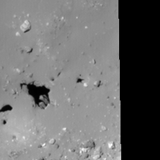
| M1101110051L | |
|---|---|
 |
|
| Inc. Angle | -19.45 |
| Emission Angle | 0.27 |
| Time | 13.17 |
| Resolution | 0.92 |
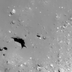
| M1103467217R | |
|---|---|
 |
|
| Inc. Angle | 13.12 |
| Emission Angle | -0.09 |
| Time | 11.36 |
| Resolution | 0.92 |
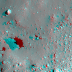
| Dollond E 1d Stereo |
|---|
 |