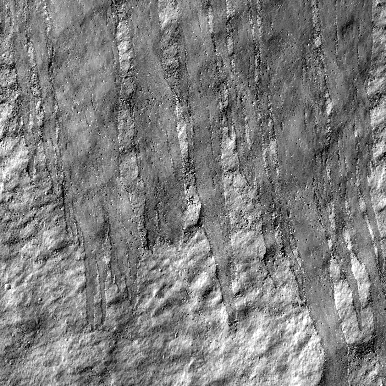
An impact crater changes its shape with time by various degradation processes, such as wall slumping, infilling with ejecta deposits from nearby impacts, and volcanic activities. Rock avalanches as shown in today's featured image also contribute to modifying crater shape little by little.
Multiple tongue shaped flow fronts in this image evoke liquid (Newtonian) flow features, especially mudflows. Similar features have been found on Mars, and are interpreted to represent recent mudflows. Water is not stable on the Moon's surface (except perhaps as ice in permanently shadowed craters), so these flows are dry (granular) rock slides. Perhaps some of the flow features on Mars thought to indicate wet mudflows are really dry granular flows?
Explore lunar landslides by viewing the full NAC frame!
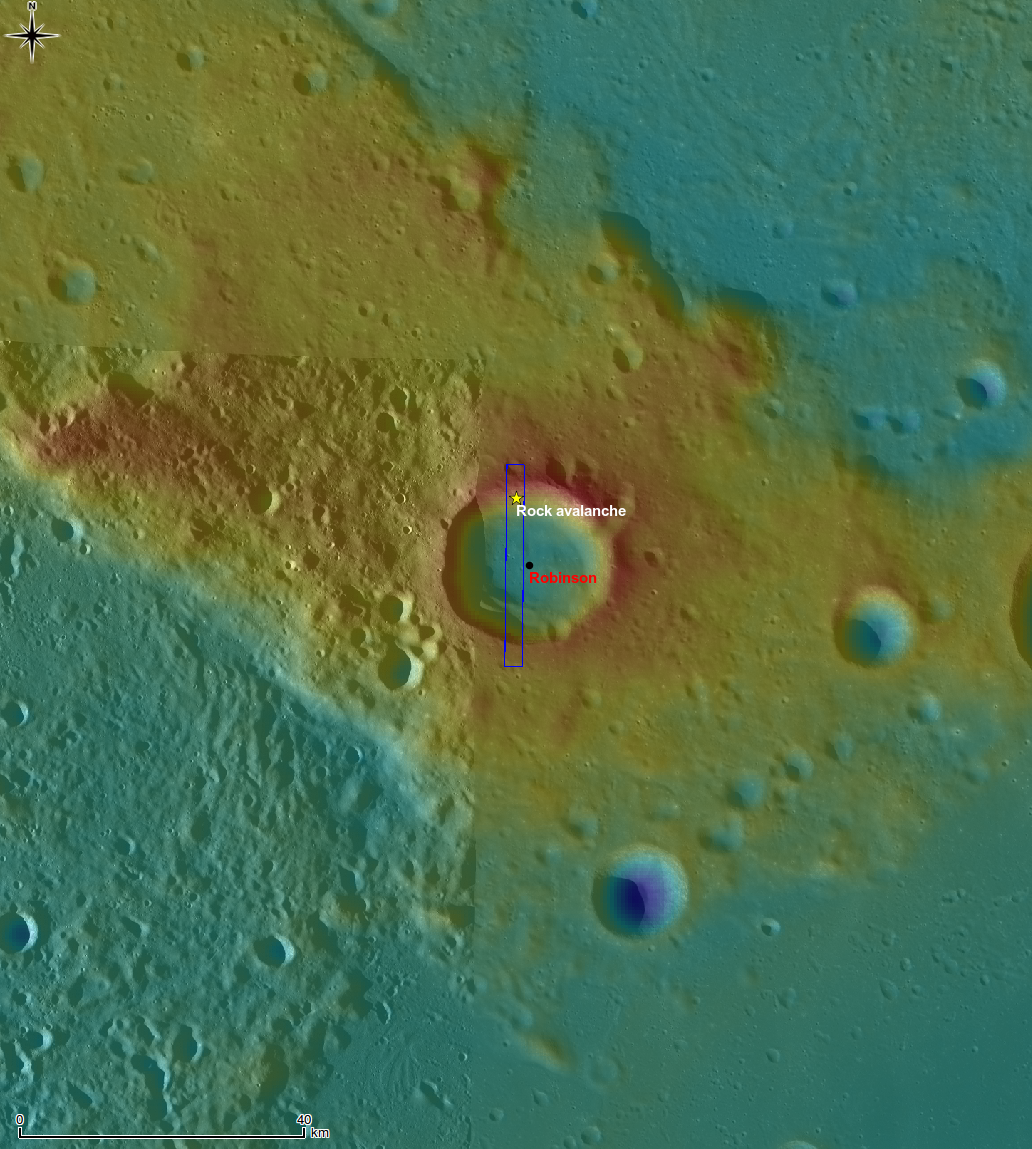
Similar slides can be seen in a small crater in the center of crater Henry Frères crater.
Published by Hiroyuki Sato on 18 November 2010